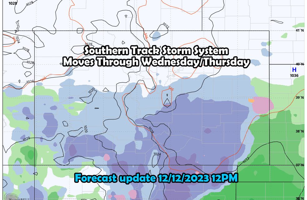
We’re back on snowfall forecasting as a strong storm projected to move into New Mexico and Texas (both of which will see ample amounts of moisture) will also spin enough of that moisture up towards the North and into Colorado. This track is more favorable for snow mainly on the South side of the Palmer Divide, points further South and along the Raton Mesa. Still, we should see enough snow make its way North to cause a couple of headaches
Here’s the latest information on our next storm.

Winter Weather Highlights

A **Winter Storm Watch** is in effect from Wednesday morning through Friday morning (long duration event)
Snowfall accumulations between 6 and 12 inches are possible
Locations included: Eastern San Juan and southern Sangre de Cristo Mountains, Huerfano and Las Animas Counties.
The watch areas are the locations expected with the heaviest snowfall and highest travel impacts. I would not be surprised to see a Winter Weather Advisory issues for areas outside of this watch, especially to the North and areas to the East. Stay current on the forecast and make sure to heed warnings from the NWS office in Pueblo… they do a good job down there.
Snowfall Forecast

Projected snowfall through Friday 12/15/2023 5AM MST
The general rule of thumb with this storm is the further North you go, the less snow you’ll see out of it.
Heaviest stuff looks to fall South of Walsenburg, in and around Trinidad and over Raton Pass/ the Raton Mesa.
An additional extra area of heavy snow will be found back across the Southwestern Mountains between Durango, Telluride, Creed and those areas.
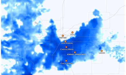
Closer to home, Palmer Divide areas will range from 0-2″ on the North side (Castle Rock, Larkspur, Lone Tree, Parker, etc…) to 1-3″ on the South side around the Douglas/El Paso/Teller county lines (Monument, etc…) and getting up more towards 2-4″ in and around the Colorado Springs area. A small uptick in snow right around the Pikes Peak region is likely as well.
For Denver and points North, very low accumulation (if any) is expected and for many folks around that area this storm will be a non-event.
Timing and Impacts
Palmer Divide
- timing: snow showers possible on Wednesday, most of the accumulating snow looks likely Wednesday night through Thursday morning
- impacts: mainly minor impacts expected to travel
Southern Colorado
- timing: scattered snow begins Tuesday night, snow on Wednesday and Thursday
- impacts: Moderate impacts possible for some areas, higher impacts possible on the Raton Mesa
Here’s a quick look at the Winter Storm Severity Index, this should give you an idea on where the worst of the travel impacts will be over the next few days:

