A couple of quick things to chat about as we wrap up this week and head into the weekend…
Weekend Outlook
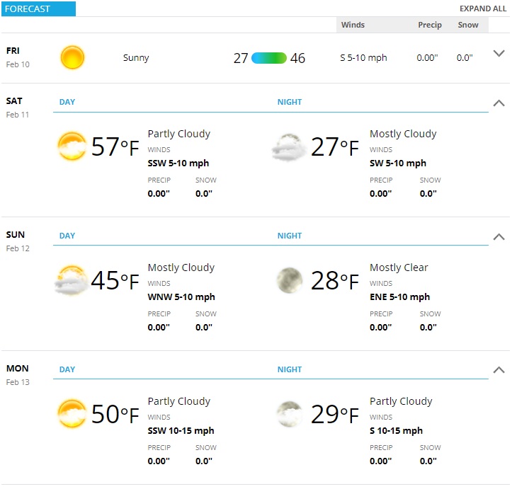
The weekend is looking quite nice, upper level ridging will allow for warmer air to move into the area. Temperatures are expected to be in the upper 50’s to low 60’s on Saturday, mid 40’s on Sunday and 50’s on Monday.
Night time temperatures should be right around freezing or in the low to mid 20’s.
 My best advice? Get out and enjoy the weather this weekend – we will most likely be seeing a colder, wetter and unsettled pattern build in by middle of next week.
Speaking of that…
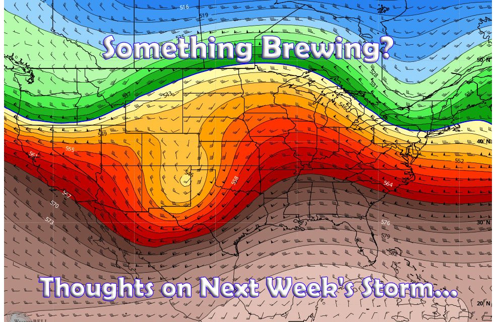
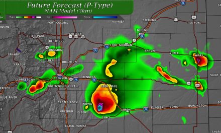
Thoughts on Next Week’s Storm
You’ll be hearing a lot of chatter about this over the coming days and while it’s easy to get excited – realize we have a very long way to go to figuring this storm out. So take everything you see with a huge grain of salt over the weekend – as of right now this storm has equal chances of dumping on us, as it does completely falling apart.
Here’s a couple of my quick thoughts and why I’m keeping a close eye on things:
Unbelievably Good Long Range Ensemble Agreement
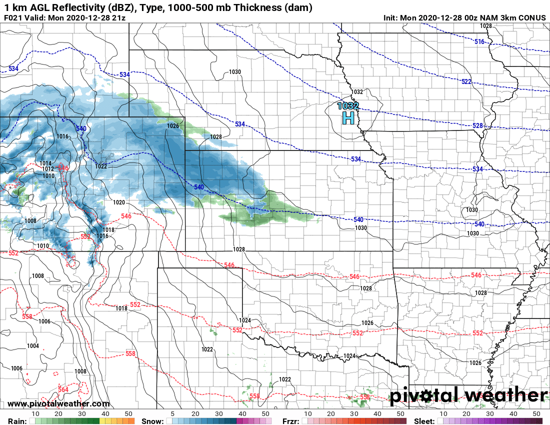
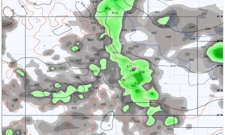
The most fascinating thing about next week’s storm I’ve seen so far is the model agreement between the three longer range ensembles we look at. Typically we use these to smooth out any outliers or “model bounce” we see in the forecast. Imagine to my surprise, when I looked at the deterministic models and saw good agreement between those 3 = then hopped over to the ensembles to see if they shared the same sentiment.
Ensembles are an average of many model runs… so when we look at a deterministic model it is one run of an ensemble. An ensemble can have between 30-50 (or more) model runs built in and average out.
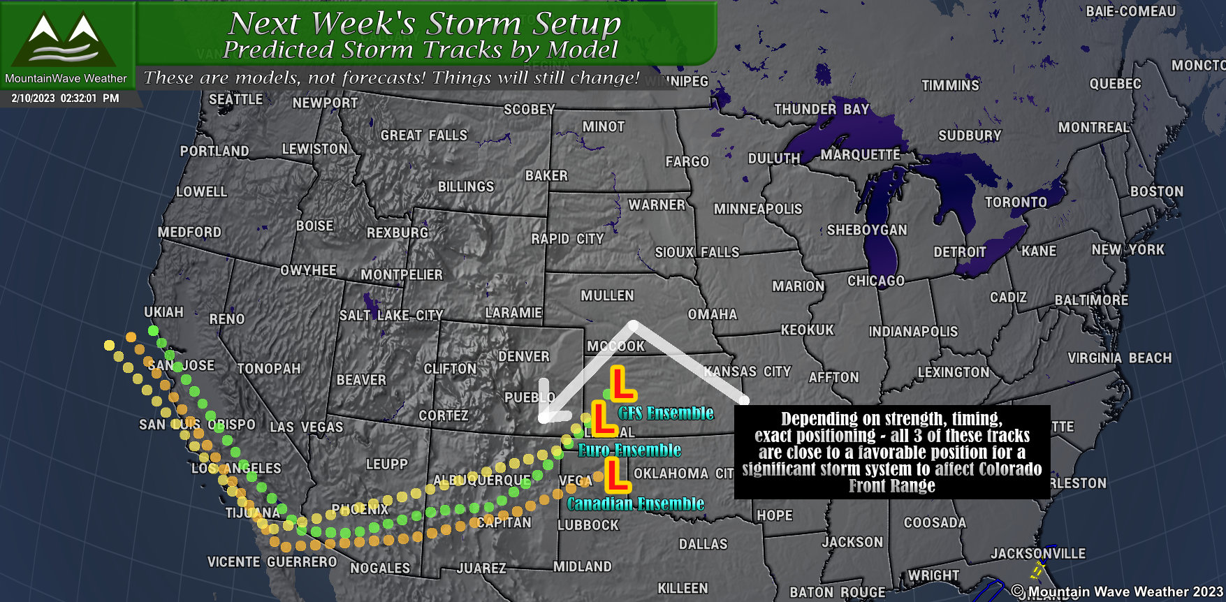
The problem with one model run is that it can bounce around a lot at this range (more than 5 days out) and if it picks up an outlier for one run, it can drastically skew your data and hence your forecast. The ensembles smooth things out and give you an overall average of what many, many models are thinking. They are great for longer range and at helping you tame things down such as outliers.
When I plotted the runs from the 3 big ensembles, I ended up with storm tracks like above. There is slight variation on track and positioning, but overall they are fairly close. The thing is, if these tracks end up being valid and everything else falls into line – these are favorable tracks for larger storms across Eastern Colorado. This is why this storm system has my attention!
That being said, lots can change and forecasts can be very fluid at this point in time. Here’s a quick look at what we do and do not know at this stage in a forecast, especially pertaining to this storm…
What We Know and What We Don’t
I know everyone and their mother wants to know exactly if it will snow and how much, maybe even “what time will the bomb cyclone hit my house?” but we don’t have fine details like that at this point in a storm forecast.
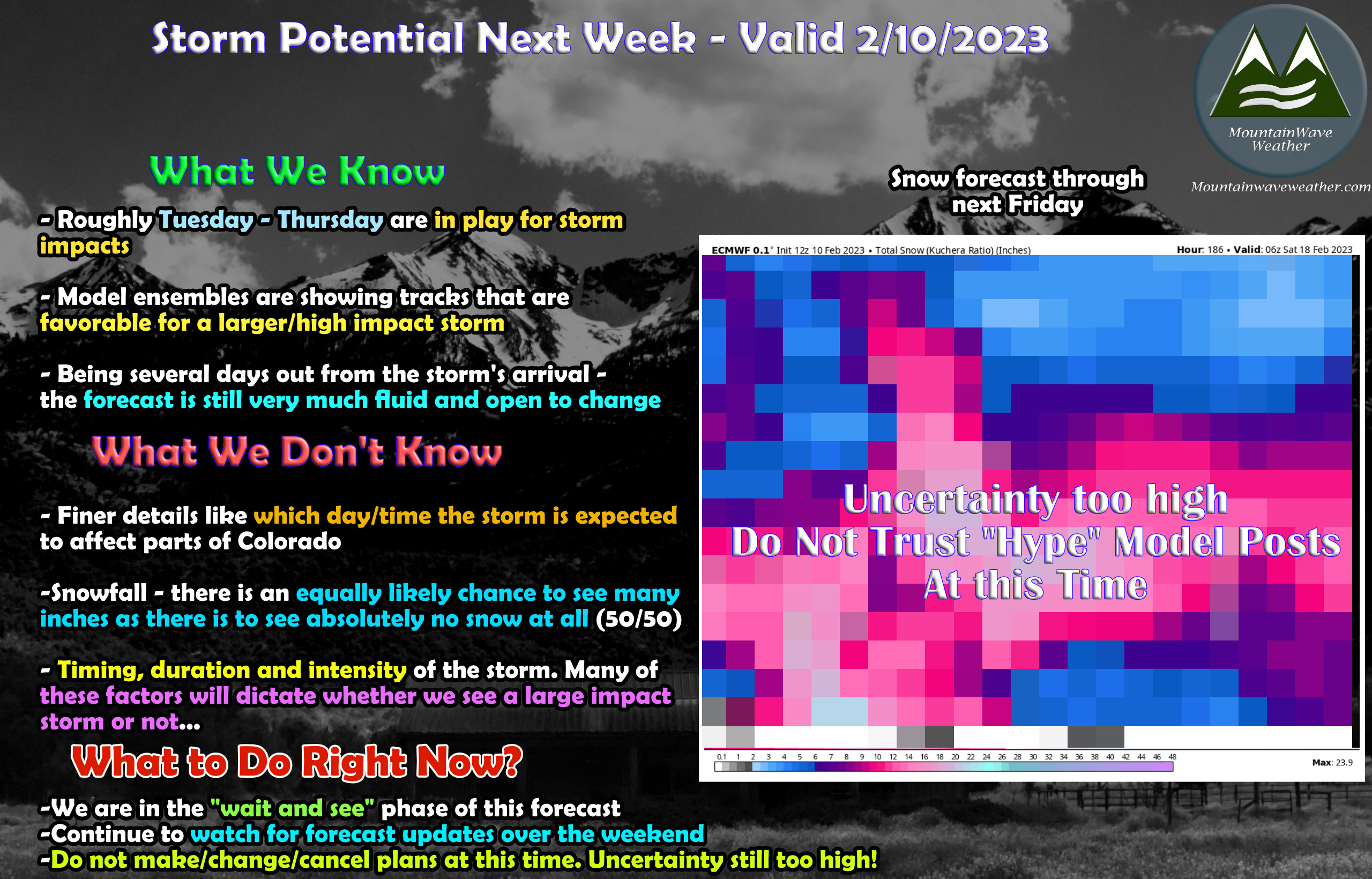
While we don’t know exact days/times yet, the middle of next week looks to be the target. As such, Tuesday, Wednesday, Thursday are all in play… but this will ultimately depend on if the storm arrives as expected, speeds up or slows down. Midweek is most favorable right now, but that could shift forward or backwards +/- a day or two. We’ll get better details on that into the later part of the weekend and into next week.
We know that storms that take this track can be favorable for larger impact snow storms with higher accumulation… that’s **on average** and in no way a guarantee that’s what happens with this storm. But it is worth watching because we do know patterns like this can be impactful.
We also know that the forecast, as favorable as it looks, has considerably high uncertainty at this point. You shouldn’t expect a lot of fine details at this point and if someone is giving those out – they’re selling something. Forecasts are fluid and they can change daily or even hourly based on the information coming in.
We don’t know the finer details yet pertaining to storm track, strength, intensity, duration, etc…
What to Do Right Now?
As mentioned above in the graphic, we are still very much in “wait and see” mode.
This is not the preparation phase yet as uncertainty is still very, very high. So there is no need to change/move/cancel plans or travel at this point. If things look to be taking a turn or confidence solidifies, I’ll make sure you have plenty of advanced warning.
You should however very much stay tuned to the forecast over the next few days for updates!
