Another storm system will begin making its way into Colorado overnight on Sunday and into Monday and with it comes another chance of snow. Will this storm produce more than our last “blizzard” or will we run into another dud? Let’s go over the need to know stuff first, then we’ll follow on with the models and forecast.
New Year’s Eve Storm
Timing
We don’t see an impact on Sunday night, so the good news is if you are travelling on Sunday during the day, things should be just fine out on the roads for Eastern and Southern Colorado.
By 1am most models begin picking up on precipitation moving into the front range region. Some have it starting as rain but I imagine it will be cold enough that we see this initial round as snow.
By 6am we start to see more energy and upslope across the region.
By 9am, snow is cranking along the front range, Palmer Divide and especially the South Central mountains.
By 9pm we still see light snow showers in the area, but the main energy is moving South out of the area.
So all in all, expect this storm to start after midnight tonight and continue through a good chunk of the day on Monday. Snow could be heavy at times, especially South of Denver and into Southern Colorado.
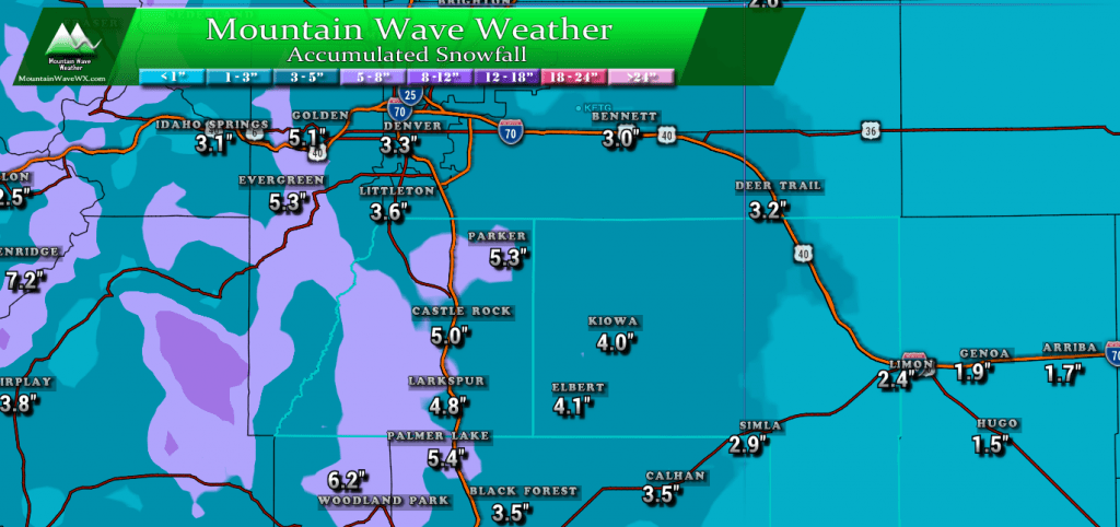
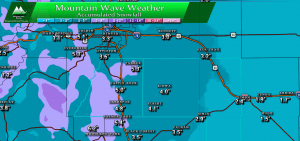
Expected Snowfall Accumulation – Palmer Divide Region (Our forecast “most-likely” ranges)
- Castle Rock, Parker, Lone Tree areas
- 3-6 inches
- Elbert, Elizabeth, Kiowa
- 2-5 inches
- Larkspur, Monument
- 3-7 inches
- Woodland Park, Palmer Lake, W. Colorado Springs Foothills
- 4-8 inches
*Keep in mind, our snowfall forecast differs a bit from the WPC as their forecast can be a bit overdone for Colorado and the Palmer Divide area
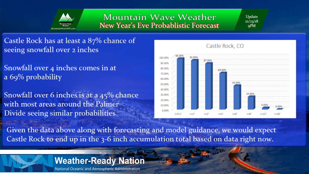
Model guidance, meteorology and probabilistic forecasting all go into our forecasts at Mountain Wave Weather
Impacts
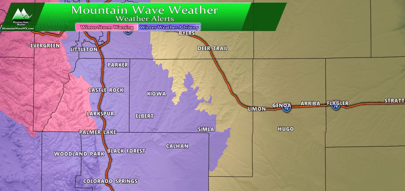
No winter weather advisories, watches or warnings have been issued as of the time of this post. I suspect if some are issued, they will focus on the Palmer Divide and Foothills regions of the front range.
Roads will become icy and snowpacked under heavier bands of snow. Expect travel conditions to deteriorate early Monday morning with difficult travel conditions possible the first half of Monday.
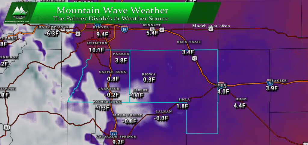
Extreme Cold!
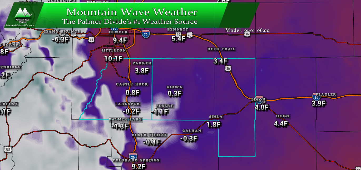
This storm system will bring a healthy dose of arctic air into the region on Monday and Tuesday. Temperatures Tuesday morning are expected to be in the single digits to below zero late Monday and into Tuesday. Make sure your pets have a warm place and keep an eye out for frozen pipes.
Models/Synopsis
Let’s do a quick run through of the models, then we’ll discuss…
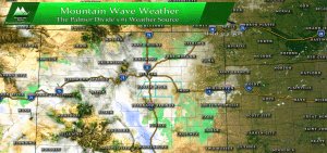
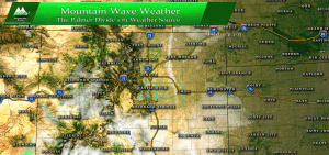
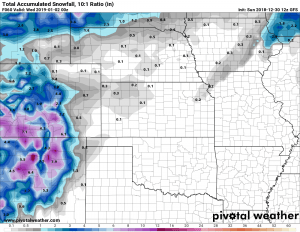
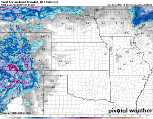
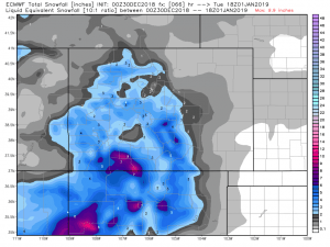
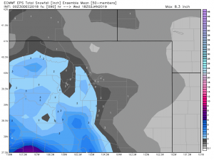
As you can see, there is still a bit of discrepancy between the models. This is pretty common, especially because the GFS has been whacky with overdoing snowfall all year. It’s a model that we tend to look at but not take too seriously. The NAM can be accurate to an extent, but the clear winner this year has been the Euro model. The ensembles were especially good at picking up on our last storm and predicting a “no show” event for snow along the front range.
The WPC image we posted above helps with our forecast too, but keep in mind this tends to overdo snow just a bit (not nearly as bad as the GFS though…)
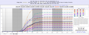
Additionally we can look at the SREF ensembles to get an idea on snowfall, but they too suffer a bit from overdoing snowfall. Still, they are worth looking at as part of the “big picture” that helps with our forecast.
Overall, given the data above and the current predicted storm track our confidence is growing that we see accumulating snow out of this event. The probabilities are just much higher than our last storm when you look at data across the board.
Since we still have an entire day of data to come in, expect there to be tweaks and minor changes to the timing, snowfall numbers and impacts based on things we see later today. As with any forecast, things will be fluid but we think we are in the ballpark at least for right now.
Enjoy the warm day Sunday and be ready for the change late Sunday night and into Monday morning!


Thanks John! Hoping for a boom this time…