As we finish out 2019 and move on into 2020 we will see an active weather pattern set up at least in the short term. For the mountains this means a few decent chances at snow accumulation (some areas will see significant snow over the next few days) while those of us on the front range can expect a few days with windy conditions, temperature swings and even our own chance (albeit small) for snow.
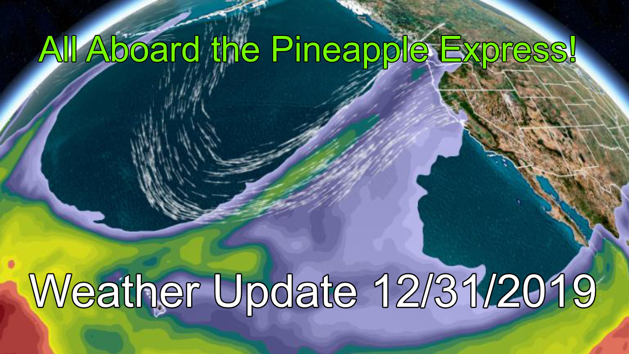
Atmospheric River Setup for West Coast of U.S.
An atmospheric river is a weather phenomena where a large influx of moisture rides the jet stream across the Ocean and onto/up against a land mass. In our case, the moisture originate from near Hawaii and crashes into the Western U.S. along the coast. It often means some areas will see areas of heavy rain or snow, in California the stronger events coincide with heavy rain and mudslides.
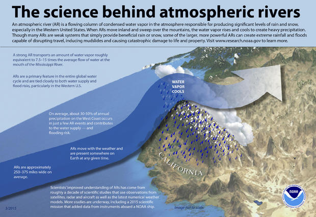
If you’re curious here’s an info-graphic from NOAA on atmospheric rivers.
This is the type of setup we are seeing through the middle and latter part of the week. Depending on where the jet stream sets up once it gets into the interior of the U.S. will dictate who sees the benefits from this setup. For Colorado, it typically means some areas of the mountains could be in for decent snowfall. Rarely do we see a big snowfall event from these along the front range… a lot of other things have to set up and they often don’t.
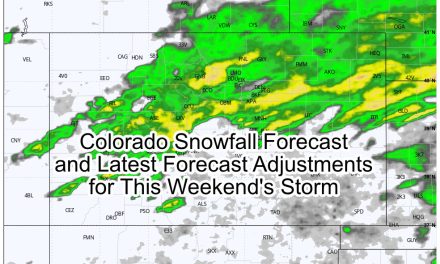
Snowfall Outlook
Models are not super excited about this storm outside of the mountains, which is pretty much what we expected.
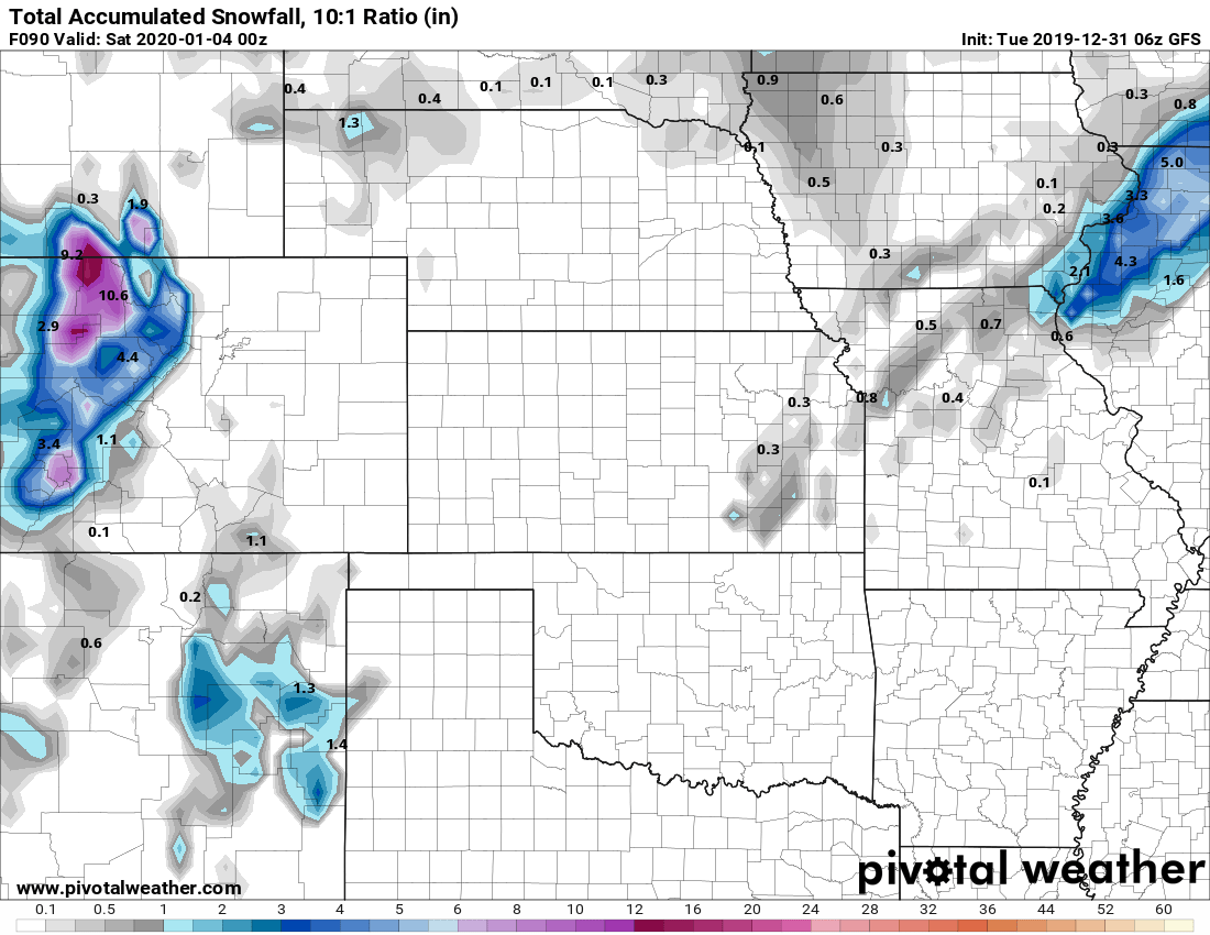
GFS shows virtually no snow East of the Divide this week

Euro does show snow East of the Divide, but keeps amounts pretty light in general
If we zoom in a bit with the WPC forecast we see it tends to agree a bit more along the lines of the Euro.

Predicted snowfall through Friday 5PM
As you can see, snow is possible for us (mainly along the Palmer Divide) but it won’t be anything to write home about. At this point travel impacts look unlikely outside maybe a slick spot here and there. It won’t be quite like what we saw this past weekend, so that’s good news for the folks driving home this week.
Notice nearly all the models show decent snow for the mountains, this will be good news if you’re hoping for some skiing later this week or into this weekend. The snowpack continues to remain strong up there, it’s been a good year so far!
Summary
Short update today as this storm won’t amount to much for us along the front range and Palmer Divide. Looking into the crystal ball a bit; don’t see a whole lot of evidence for another big storm in our immediate future. We do see the pop up “little annoying storm” from time to time so we will ride the roller coaster over the next 7-10 days.
As always I’ll keep an eye out in case any of these storm systems start to look more interesting and pass along information as needed.
Thanks for following along!
