A lot of our attention has been on the tropics for the past week and for good reason – Hurricane Ian brought catastrophic damage to parts of Florida and is now impacting Georgia, South Carolina and North Carolina.
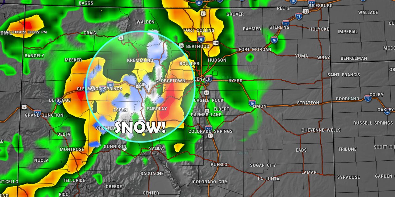
Closer to home in Colorado, we’re preparing for our own big weather changes that looks to cool us off, bring us good chances of moisture and even a dusting of snow here and there on the higher mountain peaks. Here’s the setup, discussion and forecast…
Weekend Weather Setup
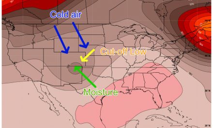
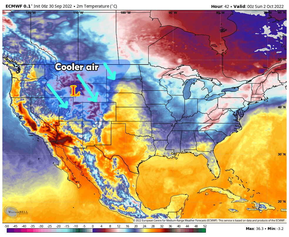
The strong ridge that has been in control of our weather has diminished and we are beginning to see a lot more movement in the jet stream. This will allow cooler systems to move in ocassionally from the North in what we would consider more of a “fall” atmospheric setup instead of the “late summer” pattern we’ve seen for the past several weeks.
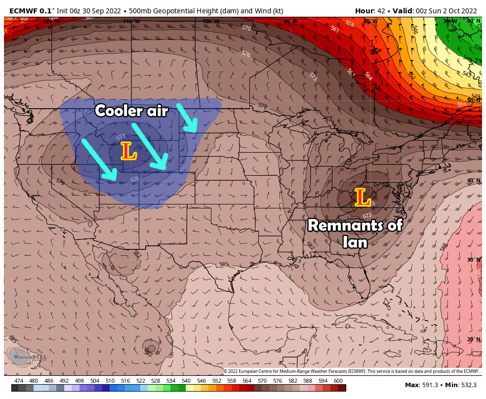
The cooler air that follows our trough in from the West can be seen much more clearly on Saturday’s temperature chart…
Rain is in the Forecast
Scattered showers and thunderstorms are possible each day from Friday through Monday, with most of the moisture coming Friday and Saturday.
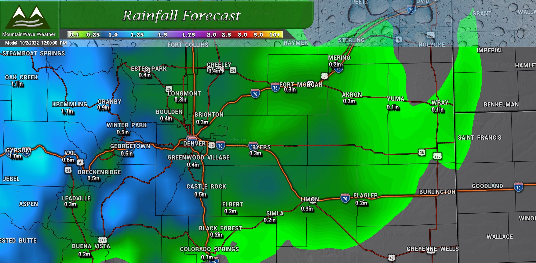
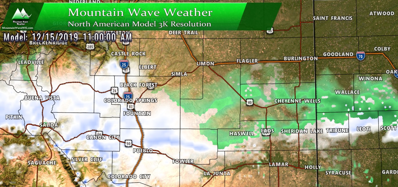
Thunderstorms look like the most likely rainmaker across the Eastern part of Colorado so rain amounts will vary widely but here’s a look at which areas will probably be favored a bit more:
You can see that elevated terrain will have the best chance of accumulating rainfall, especially Western sections of the Palmer Divide, the foothills and mountains. Parts of Central Elbert County may also see a bit more rain as well.
Overall we won’t get enough rain to write home about, but every bit helps in what is typically one of our dryer months (September) in one of our dryer seasons (Fall) of the year.
Forecast and Planning
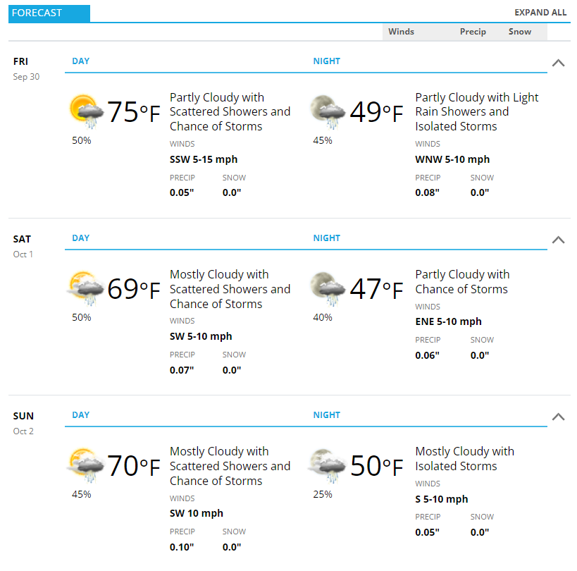
Have outdoor plans Friday, Saturday or Sunday? You’ll want to pack some warm clothes and be prepared for scattered rain showers and thunderstorms.
Here’s the outlook for Castle Rock and surrounding areas of the Palmer Divide…
