We are posting our first severe weather risk areas map today! Just another reminder that storm season is about to kick off across Colorado. Today’s marginal risk mainly includes Northern and Northeastern Colorado as this areas looks most favorable for strong and severe thunderstorms to develop. Conditions aren’t great though; I suspect the main threat out of any strong or severe storms will be wind and to a lesser degree hail.
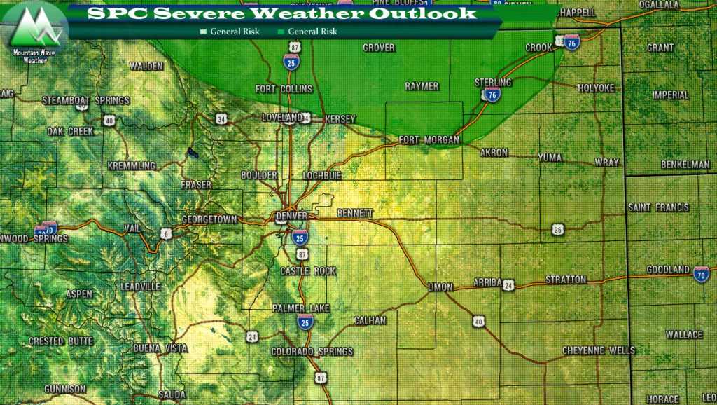
SPC Outlook for Colorado Monday April 23, 2018
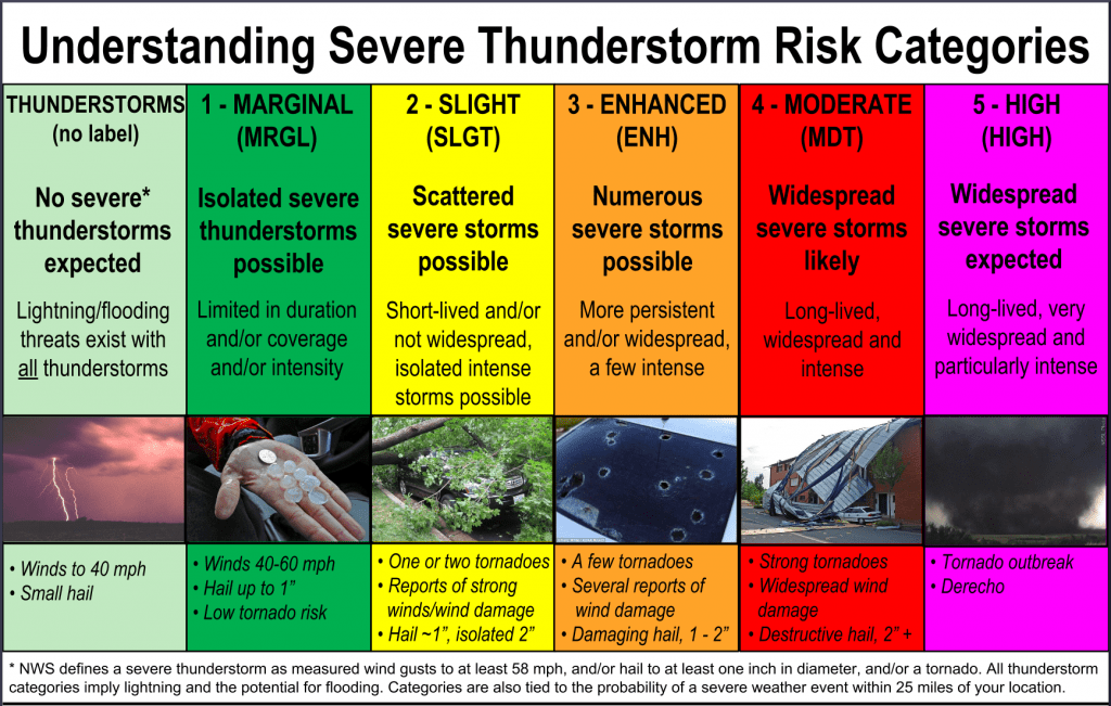
Here’s a quick refresher on Severe Thunderstorm Risk Categories:
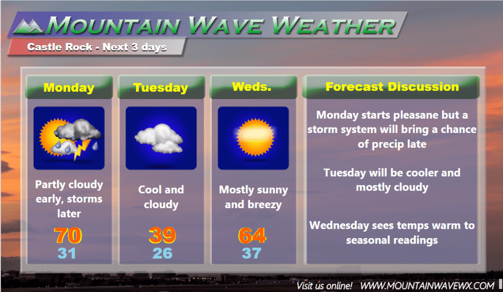
The Next 3 Days
All in all, not a bad looking week ahead, after the storm late Monday and Tuesday… the rest of the week returns to seasonable weather with pleasant daytime temperatures and chilly nights.
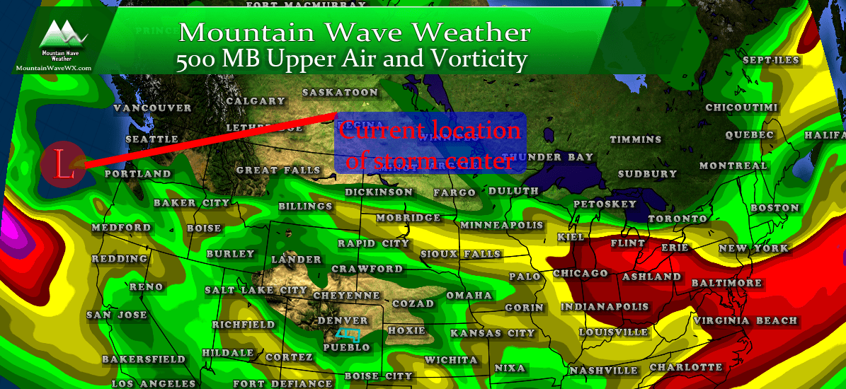
We will keep an eye out for any interesting storm activity Monday and update if needed but chances look relatively low for anything strong or severe across the Palmer Divide.




It looks like no snow for the next couple of weeks. Safe to take off snow tires do you think?
I won’t say no snow in the next 2 weeks, especially given the cooler than average weather we’ve seen lately. As we get later into April and into May we still see snow storms, but the odds of a big storm become less and less. I usually say by the beginning of May it’s ok to take the snow tires off… it’s very unlikely they’ll be needed after that point.