Today’s Severe Weather Outlook
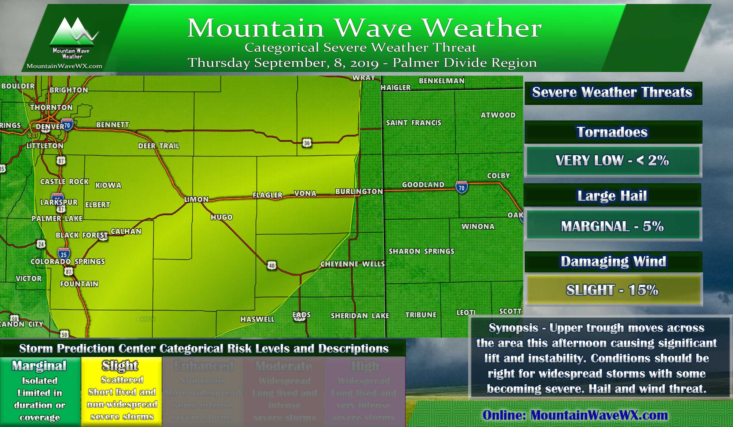
The Storm Prediction Center upgraded much of the front range to a “Slight” severe weather risk from marginal this morning. While this still doesn’t mean most of the area will see widespread severe weather, we do tend to notice when they upgrade in Colorado.
A slight risk doesn’t mean much in a lot of places, but in Colorado we’d storm chase a yellow risk area!
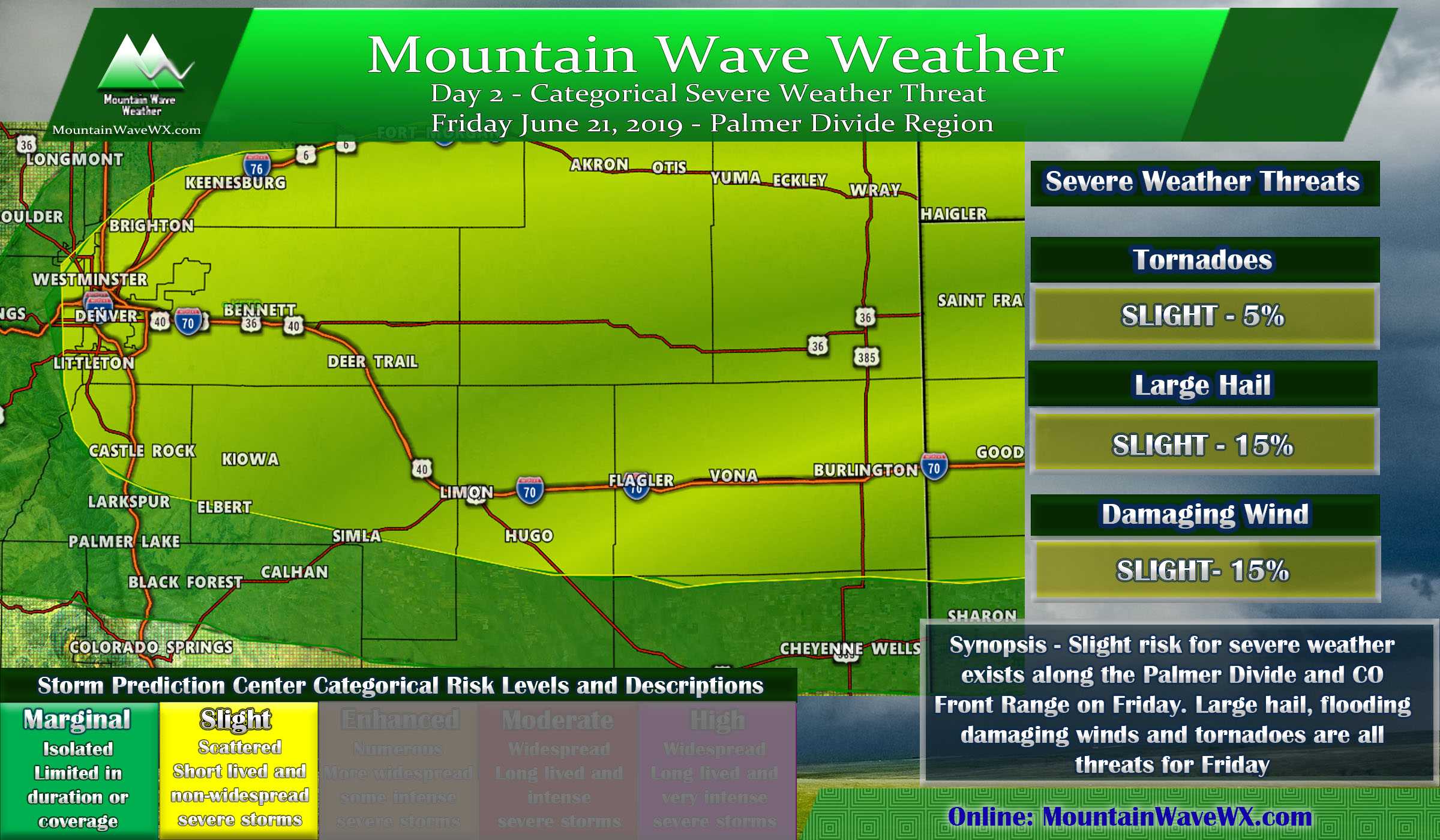
Today’s slight risk encompasses most of the front range from the Northern border down to about Pueblo. As far West as the foothills and reaching out to nearly the Colorado/Kansas border.
- Main Threats
- Hail: large hail will be possible with some of these storms, especially while they’re descreet and before they merge into a large line.
- Wind: Largest threat today from these storms today is damaging wind gusts.
- Tornadoes: Chances are very low but as we know, when storms start spitting out outflow boundaries and they converge we can see a random funnel cloud or landspout tornado. That’s what we will be looking for today.
- Rain: some flooding may occur under heavier storms.
- Timing
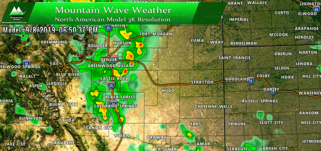
- Palmer Divide locations to the west should be ready between 4-7PM
- Locations in Elbert County and points East should be keeping an eye on the 5-9PM timeframe.

