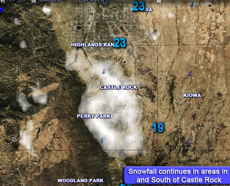
The Winter Storm we have been tracking all week has gone from looking monstrous last week, to less an impressive early this week to pretty decent by this morning. This time of the year, models really seem to struggle with storm setups and this one is no exception.
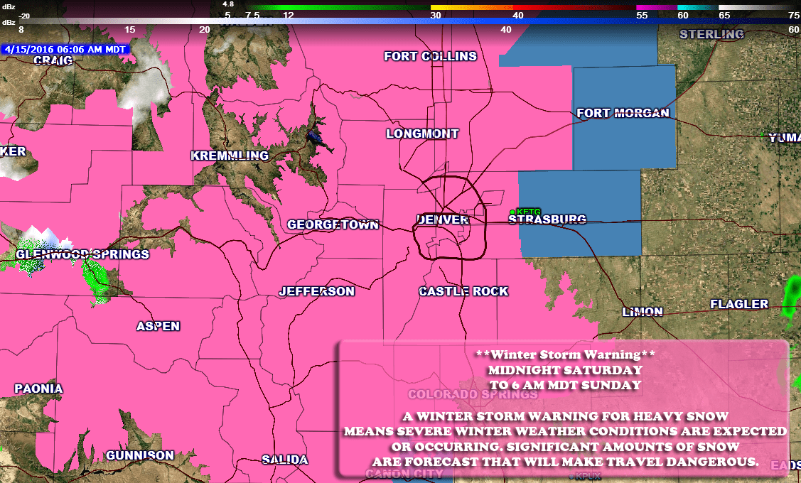
The National Weather Service has issued a Winter Weather Advisory for most of the front range of Colorado. This includes the cities of Castle Rock, Parker, Elizabeth, Highlands Ranch, etc… The advisory begins Thursday night at 6pm and lasts until Friday 6pm. This advisory mentions periods of heavier snowfall and cold temperatures making for tough travel conditions especially on Friday morning.
See Also: Current Weather Watches/Warnings/Advisories
What to Expect
This latest storm is beginning to move into the area this morning, the low pressure system is currently meandering through Denver and to the South. If you are in Castle Rock and look to the North, you’ll notice the clouds beginning to move in.
This afternoon expect precipitation to fall as rain at first but quickly chance over to snow at some point in the late evening to nighttime hours.
Depending on the timing of this, the rush on Thursday evening could be a bit tricky, should it slow down or stay as rain expect just we roads, but should things move a bit quicker you can probably expect some slushy roadways.
Friday morning’s commute looks to be the main impact. Snowfall is projected to continue overnight and into Friday morning. Snow should be ongoing through mid-day Friday and with cold temperatures building in and moderate snowfall rate the roads will most likely be icy and snow packed.
Storm Total Accumulation: 3-6 inches for Castle Rock **Some areas may see up to 8 inches in the immediate area with areas East of town most likely.
Impacts: Road conditions will deteriorate Thursday night. Travel on Friday morning will be tough and with snow expected through the day, road conditions could remain tricky through the afternoon.
Time frame: Expect to see rain by Thursday afternoon changing to snow in the late afternoon to evening hours. Snowfall will continue overnight through Friday morning and into Friday afternoon.
Synopsis
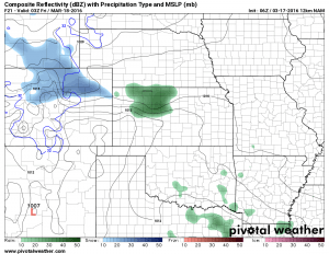
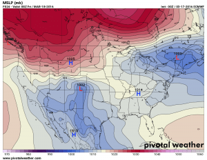
A low pressure system is dipping to the South over Colorado. Originally when we looked at this earlier in the week it was predicted it would move to the South further west, not allowing good up slope moisture to establish and meaning a light to no snow event for most across the front range. This morning’s model runs show the low in a more favorable position:
Model guidance has adjusted snowfall accordingly this morning and while this is still not the best position for a high snowfall event, the track of the low coupled with the storm system slowing a bit will mean we should see decent snowfall accumulation.
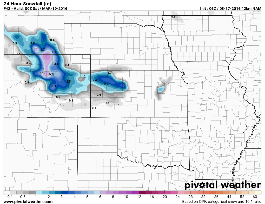
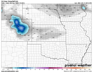
Models I’ve targeted in on are the GFS and NAM:
The biggest difference I see between the two is the NAM brings the snow in earlier and keeps it around a bit longer, thusly it is predicting slightly higher snowfall numbers. One of these two will be relatively correct, a quicker moving storm and later change to snow means the GFS looks more accurate. A quicker change to snow Thursday afternoon and a slowing of the storm would suggest the NAM would be closer. As a weather nerd, this will be interesting to watch.
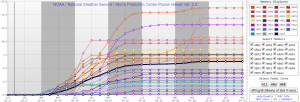
Meanwhile, the SREF ensembles show this for snowfall totals:
The mean of all the models run showed right around 5-6 inches for Centennial Airport and similar for Monument. Since there is no model run specifically for Castle Rock and I have to take into account our higher altitude and more favorable terrain for up slope I usually take the average between the two. In this case, since they are almost spot on with each other this would make me lean towards the NAM and say we could see somewhere in the 5-7 inch range when it’s all said and done.
The other thing is when you see things not agree this close to the time the storm arrives it throws a bit of red flag up for uncertainty. I’m highly confident we will see accumulating snow in the Castle Rock area tonight and Friday. The big question is will we stay on track for 3-6 inches, do I need to bump the forecast up to 4-8 or does it fall apart at the last minute. Spring snowfall events along Colorado’s front range are notoriously tricky.
Should be interesting to watch, in the meantime stay tuned here at MountainWave Weather and I’ll pass along any changes to the forecast this afternoon.
Happy Saint Patrick’s Day, cheers!

