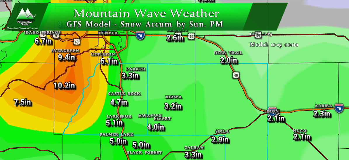
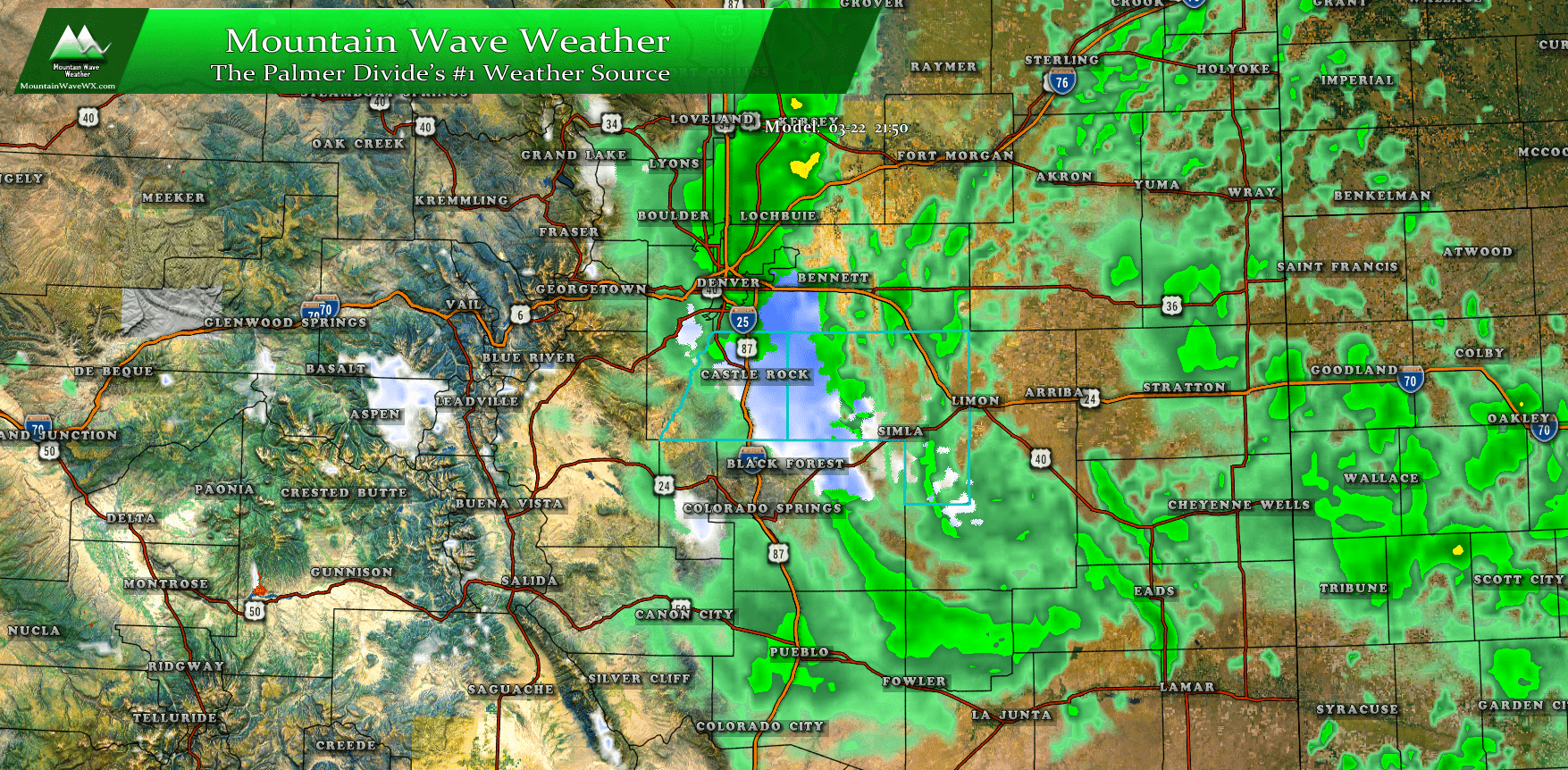
After a period of quiet and somewhat tranquil weather, there is evidence our weather pattern may be shifting back to an unsettled period for a bit again heading towards the middle of the month. A new storm system pounding the state of California will begin to move towards Colorado.
The storm will hit the mountains with a ton of moisture and energy but the brunt of that will stay in the higher elevations. That being said, there is the potential for quick bursts of moderate to heavy snow that could cause some travel headaches primarily on Wednesday afternoon into the early evening hours. Here’s the preliminary information on this storm…
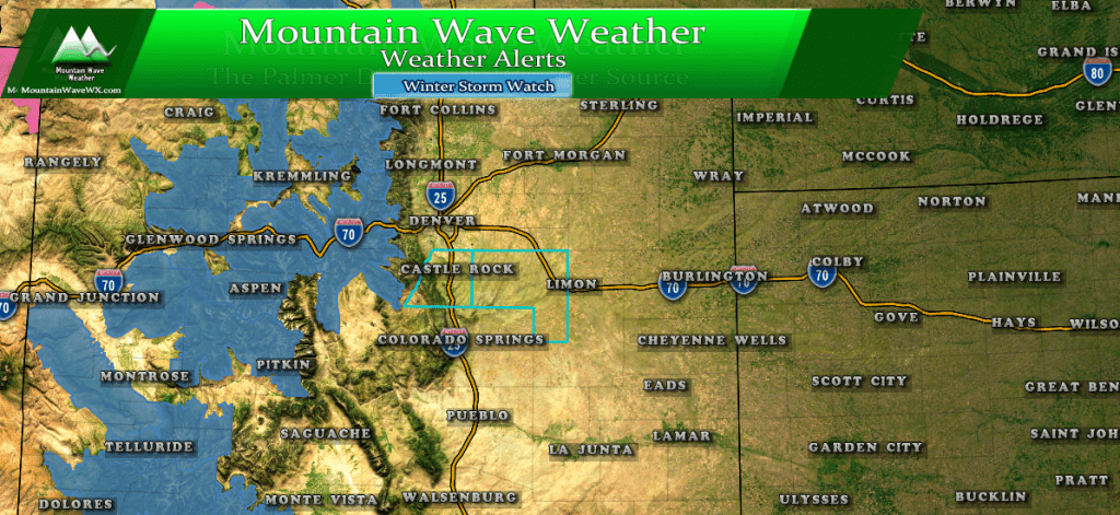
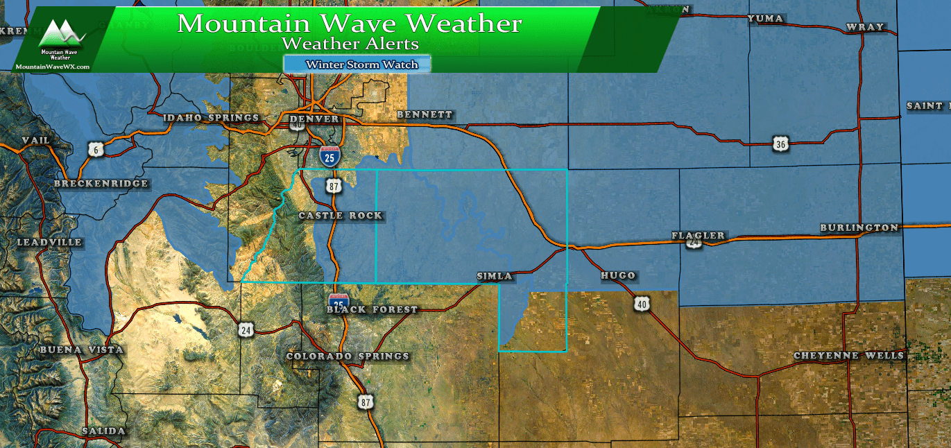
NWS Weather Alerts
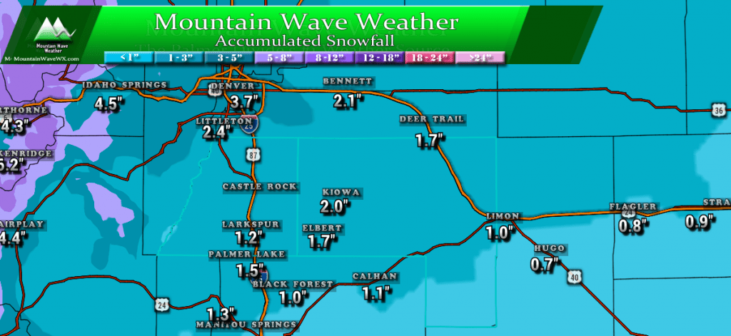
Expected Snowfall (through Wednesday 11PM)
*These are our forecast numbers and may not always match the NWS official forecast numbers*
- Castle Rock and surrounding areas
- 1-3 inches
- Parker, Lone Tree, Highlands Ranch areas
- 1-4 inches
- Elbert, Elizabeth, Kiowa
- 0-3 inches
- Larkspur, Monument
- 0-3 inches
- Woodland Park, Palmer Lake, W. Colorado Springs Foothills
- 0-3 inches
Timing
- Snowfall may spread onto the front range late Wednesday morning
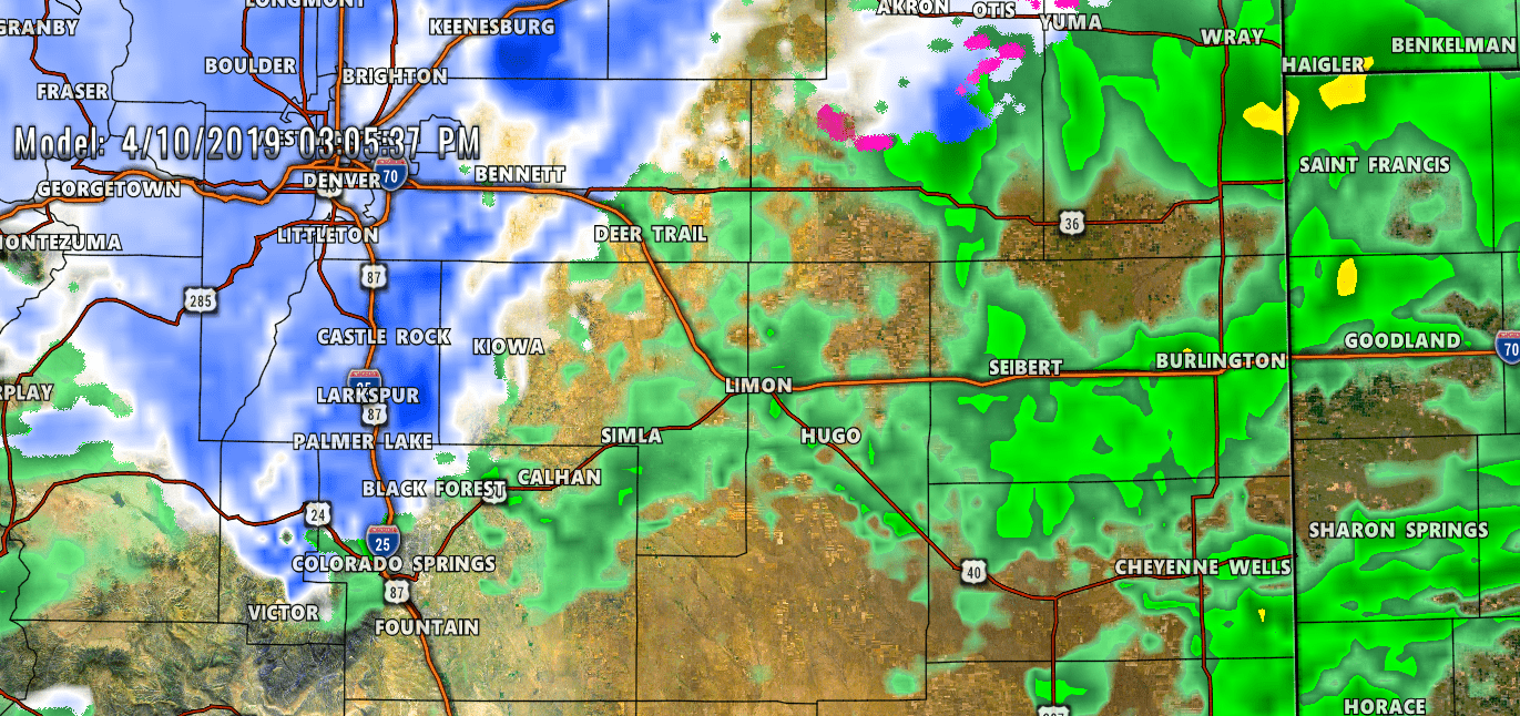
- Heavier snow showers are most likely between 12PM and 6PM on Wednesday
- Snow showers should diminish and be out of the area by 9PM or so
- **Largest chance of a travel impact will be 12PM-6PM on Wednesday**
Impacts
- Likely travel impacts will be slick roads with some accumulating snow on road surfaces
- Wednesday evening commute may be impacted
- Models as of this evening are favoring the areas around and North of Denver for more of an impact with less of an impact along the Palmer Divide.
- Stay tuned in case the storm position changes and thus the impact area
Not seeing any hints of a major storm, but we know how that has been this year. One thing we will have to keep an eye on is strong flow aloft, which means snowfall banding could be possible. If you end up under these snow bands the potential for the forecast to bust high will be increased.
Models are hinting at snowfall banding potential with this storm, but like I’ve said… they can show us the potential but not exactly when or where they will set up.
We will be keeping an eye on this storm as we get more data in on Tuesday along with the higher resolution and short range data coming in. Stay tuned!

