Is It a Bust?
Not necessarily, I still think we see accumulating snow into the evening and overnight hours. I do think that it will “under-perform” in terms of total snowfall for many areas along the front range and also in terms of blizzard conditions. Interestingly enough, a lot of models are still holding onto the idea of at least some decent snowfall accumulation through the night, but I’m not sure they’re handling what is actually happening too well.
Remember, a good forecast doesn’t rely solely on models but a combination of models (and especially once we get closer to the storm’s arrival or in the storms arrival and impact) and incorporating some actual meteorology.
Updated Warnings/Advisories
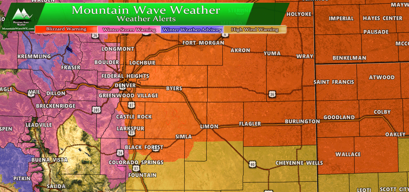
Watches/Warnings/Advisories as of X PM
Blizzard warnings remain for Northeastern Colorado, Eastern Colorado and the Palmer Divide. The worst of this seems to be impacting the Northeastern corner of Colorado and into Nebraska and Northwestern Kansas. No word on any changes to these for the I-25 corridor from the NWS and I don’t anticipate they will for at least the overnight hours.
Our Updated Forecast (As of this post) and What To Expect
Expected Snowfall (through Thursday 12PM)
*These are our forecast numbers and may not always match the NWS official forecast numbers*
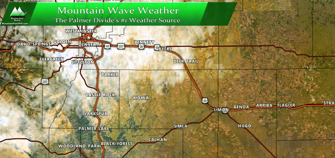
- Castle Rock and surrounding areas
- 2-5 inches
- Parker, Lone Tree, Highlands Ranch areas
- 2-5 inches
- Elbert, Elizabeth, Kiowa
- 1-4 inches (some drifting will be possible in these areas overnight
- Larkspur, Monument
- 2-5 inches
- Woodland Park, Palmer Lake, W. Colorado Springs Foothills
- 3-7 inches
Timing
- Snow will continue through the overnight hours and into early Thursday morning
- Winds will continue to be gusty overnight
- Expect clearing into the late morning and afternoon hours on Thursday
Potential Impacts
- Slushy roads will ice over tonight making for slick road conditions
- Continued snowfall overnight will collect on roads
Summary
So we will continue to keep an eye on this and post more updates if needed tonight. I don’t think this storm will be a total bust but it does look to be under-performing for the Palmer Divide region. Could that still change? Absolutely, but given the data I’ve seen and what this storm is actually doing now that it’s here… it’s looking less and less likely we will realize the severe blizzard conditions that were expected.
Unless something drastically changes this will probably be the last full storm update (I may have a few smaller ones here and there on facebook if needed) but I’ve adjusted snowfall totals to the range I think is most likely now and at this point there isn’t really much use in adjusting much more.
Hope everyone stays warm and has a good evening!


