The Week Ahead
After bouts of severe weather last week including storms that brought hail, heavy rain and winds to the area we will quiet things down nicely this week. The overall weather pattern is already beginning to transition into something we tend to see in summer with warmer temperatures riding into the area with Southwesterly flow and drier conditions as thunderstorms struggle to build in a more stable atmosphere.
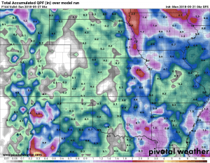
When we look at total precipitation expected this week, numbers will be much less impressive. Storms will struggle to gain much traction outside of the mountain areas and that means drier conditions along the front range. The GFS model below shows very little to no precipitation this week through late Saturday.
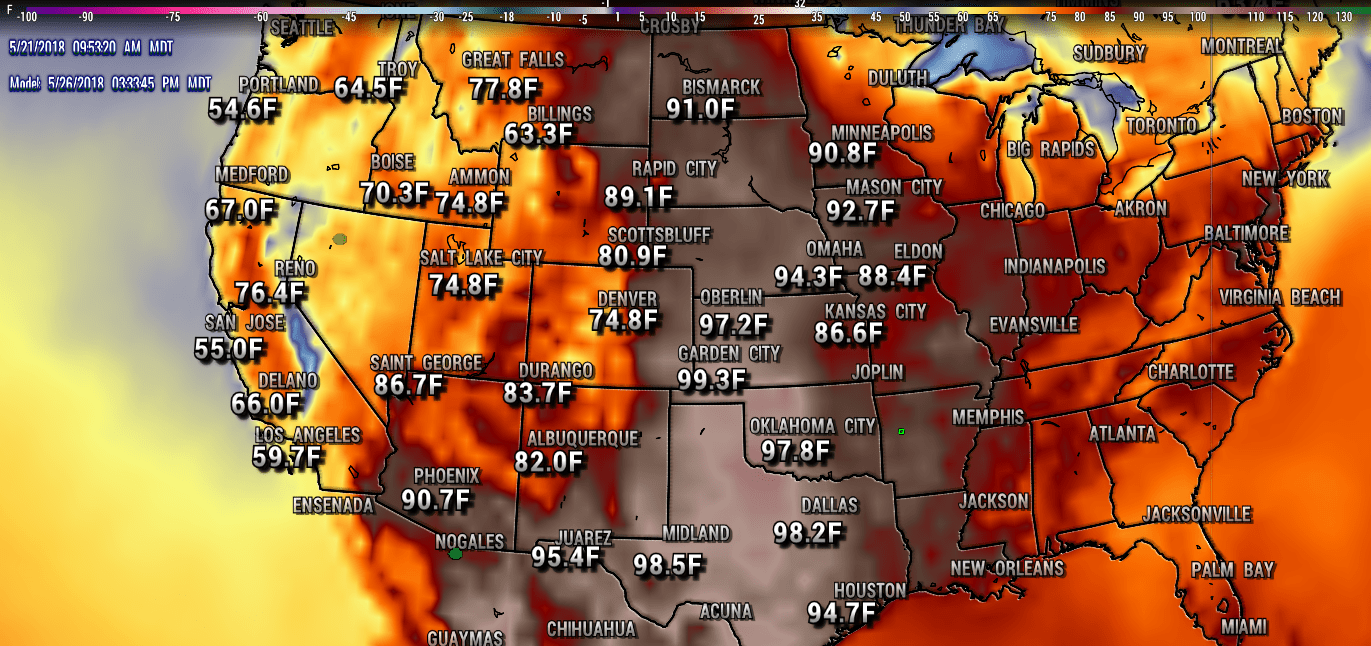
While the pattern looks “summery” this week, it won’t be particularly too hot in and around Colorado. The areas that will see the heat will be just East of Colorado; Kansas, Oklahoma and Texas will see temperatures in the 90’s by later this week and I wouldn’t be surprised to see some areas flirt with 100 degrees.
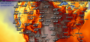
GFS high temperatures for 5/26/2018, most of the week will feature warm temperatures for the middle of the country.
Closer to Home
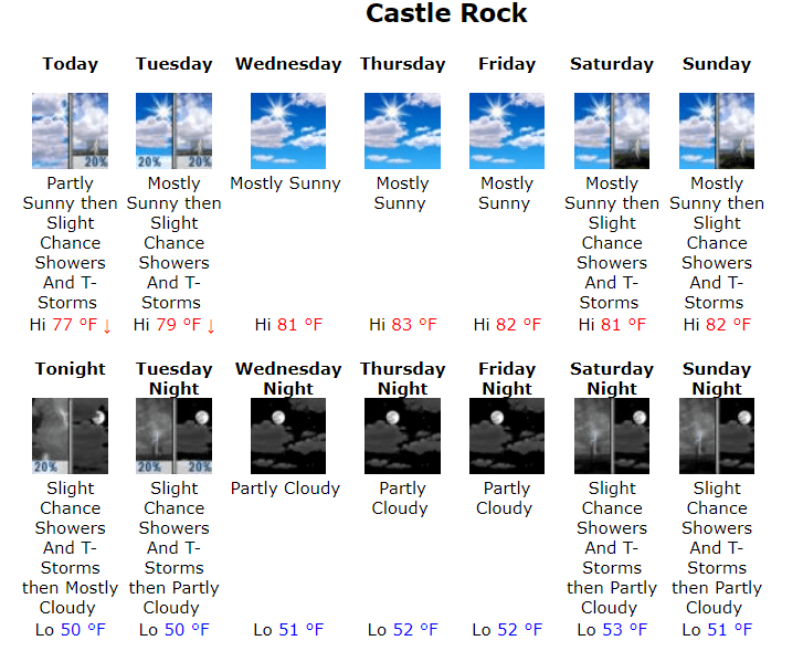
I’ve attached the NWS forecast for Castle Rock this week below, you can always view this forecast (updated all day ever day in 15 minute intervals) on our Castle Rock Weather Forecast Page.
We will keep an eye out for any changes but beyond a spotty thunderstorm here and there it should be a relatively quiet and warm week. Have a great Monday!

