General Recap
A pretty decent storm for this time of year. There wasn’t a ton of cold air to work with, which is probably why Denver and points North and East didn’t see a ton of accumulation. Not only that, but Northeasterly flow can create downsloping and dry out the air off of the Cheyenne Ridge. Denver tends to do better with Easterly and sometimes Southeasterly upslope storms.
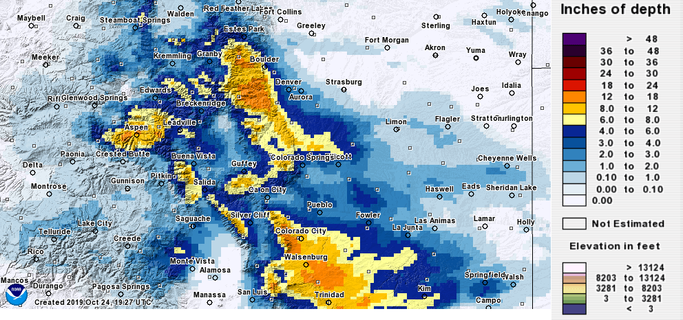
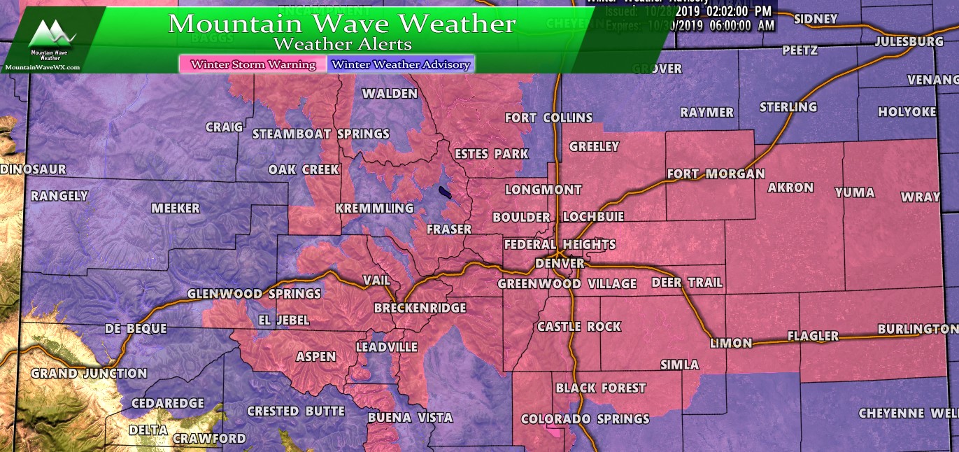
As you can see, the areas we called out were generally the ones that did best. The foothills West and Southwest Denver were heavily favored to see the heaviest snowfall and they did. Additionally the Palmer Divide also saw a decent brunt of the storm and most areas finished up within the forecast range if not slightly higher.
Snow Forecast Recap
Here’s a quick recap of how our snowfall forecast evolved over the days and hours leading up to the storm event and how things finished out. Despite a ton of uncertainty in the models there were some consistencies and it helped to not overthink the short term models too much. The closer in stuff tended to bounce a lot and some of the more short term models wrote this storm off completely within 6 hours of its arrival. Model bouncing is common and its why if you don’t know how to read them, how they behave and how the meteorology behind them and around them works, you can have a tough time with accurate forecasts with just model watching.
Here’s the point-by-point rundown:
Legend: [Verified Within Forecast Range] [Close to Forecast Range (+/- 1 inch of accumulation] [Minor Forecast Bust] [Major Forecast Bust]
| City | 24-48 hour Forecast Range | Within 12-24 hour Forecast Range | Actual Amount |
|---|---|---|---|
| Castle Rock | 4-8 | 4-8 | 5.5 |
| Parker | 4-8 | 4-8 | 4.0 |
| Highlands Ranch | 2-6 | 3-7 | 5.5 |
| Elbert | 4-8 | 4-8 | 4.25 |
| Elizabeth | 4-8 | 2-5 | 6.3 |
| Kiowa | 2-6 | 2-5 | N/A |
| Centennial | 1-4 | 1-4 | 4.5 |
| Denver | 0-3 | 1-4 | 4.5 |
| Larkspur | 5-10 | 5-10 | 7.5 |
| Monument | 5-10 | 5-10 | 8.0 |
| Black Forest | 4-8 | 4-8 | 10.0 |
| Littleton | 2-5 | 3-5 | 4.5 |
- Overall:
- 7 out of 12 verified
- 4 out of 12 were very close to forecast range
- 0 were minor busts
- 0 were major busts
- No data as of this report from Kiowa
- Grade of this forecast: GOOD
Modeling Review
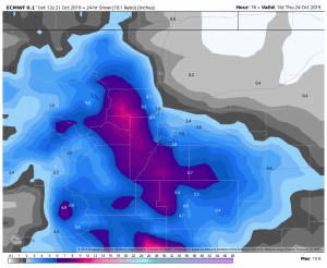
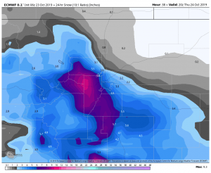
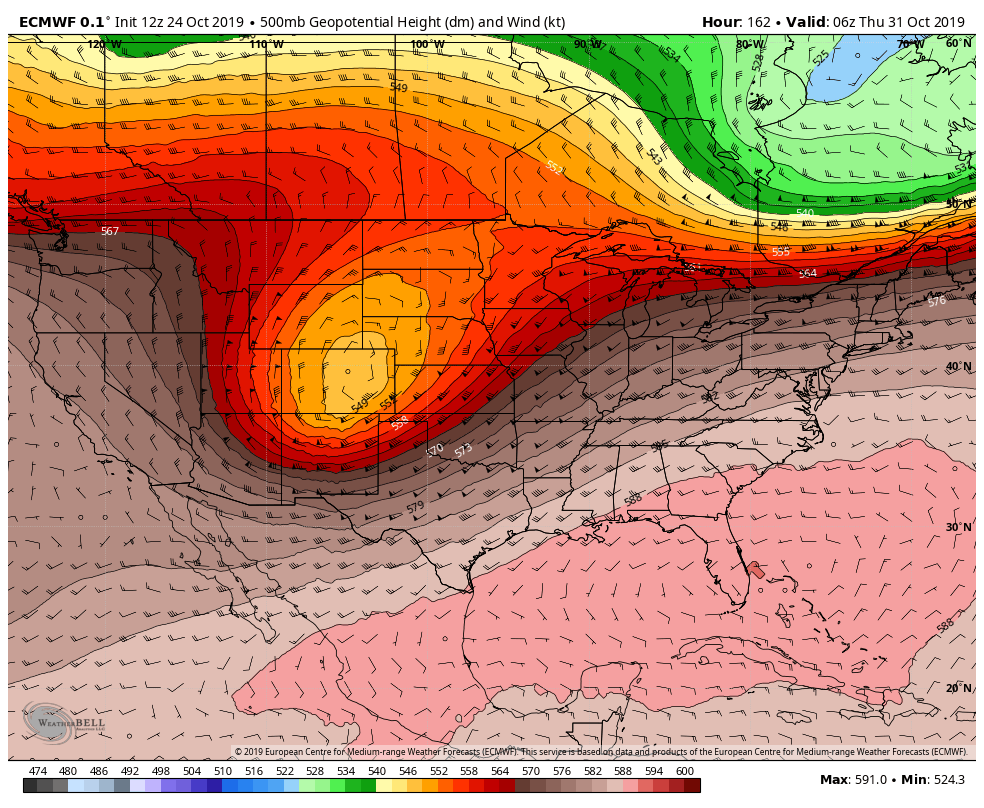
The winner of this storm by far was the European model. It zeroed in on the foothills and Palmer Divide and never let go.
Compare both of those to what actually transpired again…
Keep in mind, the EURO’s skill (rough accuracy) is pretty darn good within 48 hours, but all of them become more accurate to some degree within that timeframe. I think the biggest thing to note with this storm was how the other models flip-flopped a bit and even backed off but the EURO stayed consistent through the entire period.
Important to note as well; as good as the EURO is, it too can be wrong. My biggest advice if you want to learn how to forecast using models is understand how they work, what their strengths and weaknesses are and learn to spot patterns over several series of model runs instead of getting hung up on one run or the other. Models will bounce back and forth, they always do but it’s a good idea not to get too “hung up in those details” and look for the overall patterns.
Summary
Phew, we won’t have much time to take a break as our medium range models are picking up on a potentially prolonged period (several days) of cold and snowy weather next week. The forecast went very well with this storm, but we will have to quickly change gears for the next.
Models are all picking up on a series of potential storm systems next week. Not a lot of agreement on timing, strength or anything else, but definitely worth keeping an eye on. The setup with next week’s storm is a whole different animal than the one we just saw.
We will be watching closely over the next few days and will have several updates as needed so stay tuned!


Thanks John!