
So far, our snowiest month in Colorado is turning out to be extremely dry and warm for almost the entire state. The good news is that we still have quite a few days left in the month so it’s not time to get worried just yet. Many models have been predicting the second half of the month to be cooler and wetter and as of right now there is nothing signaling the contrary.
March has been extremely dry:
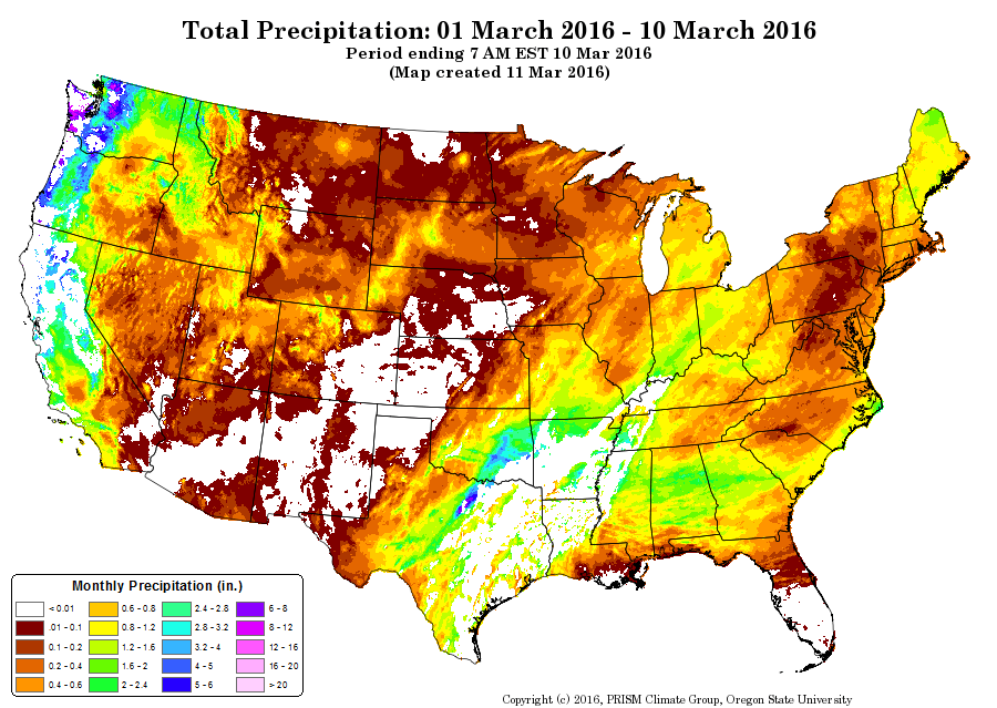
You can see a lot of white, oranges and reds across Colorado. Many areas east of the continental divide have seen 0-.1 inches of precipitation so far; this amounts to 0-1 inches of snow. Quite a surprise considering we average well over a foot of snow for the month. As a side note; many areas South of Denver (Castle Rock, Parker, Elizabeth, etc…) average between 14-16 inches of snow for the month of March. I emphasize again, there is still a lot of days left in the month but we are beginning to dig a hole and the further we get behind the more difficult it will be to catch up.
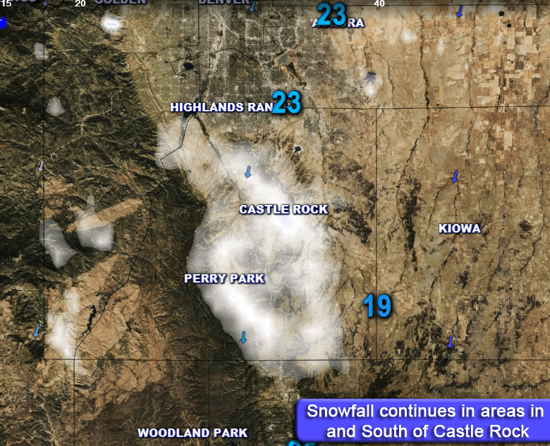
The mountains have done slightly better, most areas have seen between 2-8 inches of snow, which sounds like quite a bit but these areas are still well below average. Snow pack in the state has been falling:

The snow pack statewide is down into the 80% range which is getting a bit low. Many areas saw extreme dryness in February and that trend has continued into March.
The good news is the storm track looks to get more active shortly for the mountains, as soon as this weekend their snow pack situation should be helped by a series of storms moving in. The same can’t be said for Denver as it still looks to remain dry, minus one storm we are watching late in the week. This storm unfortunately, looked very promising with earlier model runs is looking less impressive every day.
In the meantime, enjoy the wonderful weather this weekend and I’ll have another update and look at the weather next week on Monday night. Cheers!

