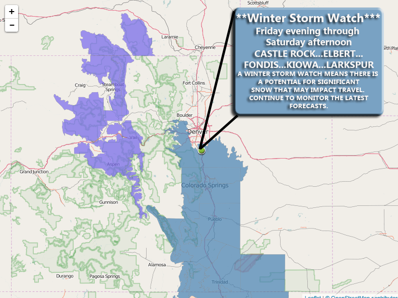
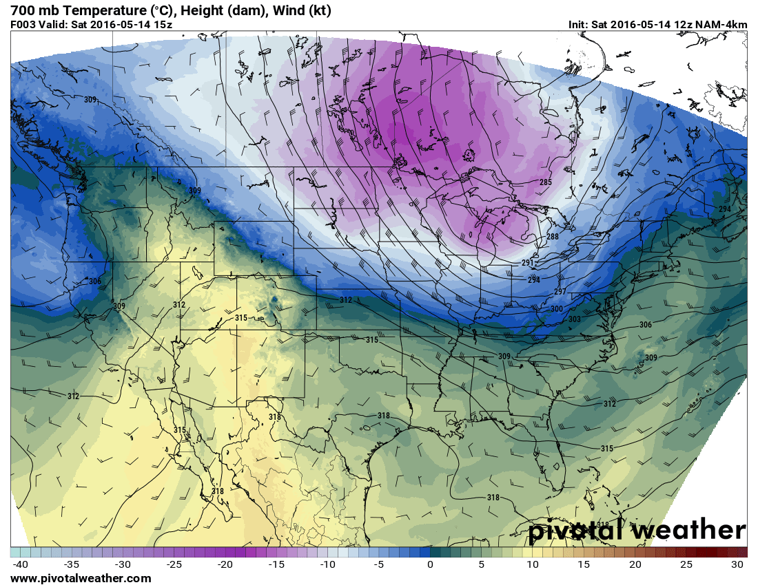
The news is picking up on a major winter storm set to impact the United States this weekend over Christmas. This is true for many parts of the country but just like always, Colorado will be a bit trickier to predict. Whether you see any snow or not will largely depend on which part of the state you are in. Here’s a look at this weekend’s storm system with the latest data available. I will caution that since we are 4-5 days out from this storm system’s impact, this is a preliminary look at the forecast and things still have time to change (and probably will.)
Snow Chances for Christmas
If you’ve been following the news in and around Denver this weekend you’ve probably notice that initially many outlets were calling for a white Christmas. Seemingly though, a lot of those outlets have backed off snow and some have eliminated the chances all together, but why?
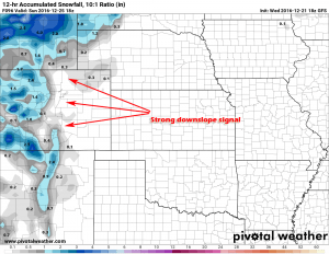
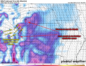
GFS for this weekend shows a strong downslope signal for snow East of the divide. (You’ll notice the mountains get the most of the snow but even then the totals are not stellar.)
The GFS has begun to consistently show a strong downslope signal along the front range for this weekend’s storm. As you know if you’ve followed us for awhile, downslope is the enemy of the snowstorm for us along the front range. Strong Westerly or Southwesterly winds race down the mountains, warming (from compression) and drying as they decline in elevation. This is called downslope or a “chinook” wind event, quite common along the front range of Colorado especially with large storm systems that come out of the West or Northwest.
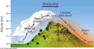
Chinook means “snow eater” by the way. It is called as such because the warm and dry winds can quickly erode any remaining snow pack on the ground.
I don’t see it being particularly warm this weekend but it won’t be super cold. The main takeaway here is that the low being where it is, will cause the air to dry as it moves down the mountains so any moisture will have a tough time making it with the dry atmosphere.
If we wanted a bigger snow event we’d want the low to shift to the Southeastern corner of the state (as seen above.) The low being in the position it is predicted to (too far North) means strong Southwesterly winds will form along the front range.
For those folks hoping we get an “overperoming” storm like the last, you’ll notice there are a couple of differences between his storm and the last…
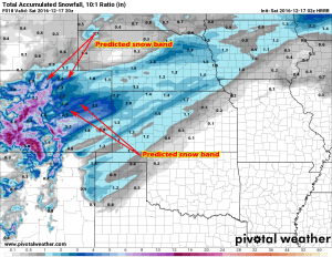
- Last weekend’s storm showed snow banding East of the Divide.
- This was mainly due to the low being a bit further South
- The jet stream was also directly overhead, meaning any energy and moisture was “boosted” a bit due to the high winds aloft.
- This weekend’s storm is a bit different
- The low is a “closed low” meaning the winds aloft are quite a bit different
- The jet stream looks to play less of a factor and may not set up too strongly over Colorado at all
- The low being further North means areas North and Northeast of Colorado will likely see the biggest impact from this storm.
So, White Christmas or Not?
At this time it’s too early to tell, we still have more questions than answers with this storm system. I can say I’m not terribly impressed with this storm (but then again I wasn’t with the last and look what happened.) At this point in time, it’s just too early to tell, we could see a major shift by the models to the South or a stronger jet stream setup over the state. If any of those two things were to happen it would drastically affect our forecast, as such I’m not giving out any snow totals for any areas just yet.
This is my best guesses based on the data I have today (again take this with a huge grain of salt until we get another day or two of data in):
- White Christmas… snow falling on Christmas Ever or Christmas Day?
- Right now I’d still put it at a 50/50 shot, while I wouldn’t say it’s “likely” I’d still say it’s “possible” to see snow along the front range at some point this weekend
- Snow Totals
- Mountains will definitely see the best of the snow, but even they won’t see a ton.
- Front range (East of the Divide)… we will have to wait and see how that low sets up, if I had to say anything right now I’d say a dusting to maybe 2 inches into Sunday morning max with this data.
I’m still relying on the GFS and EURO models at this point, both are in pretty good agreement with taking that low too far North for us. I’ll be watching closely over the next day or two as some of the shorter range, higher resolution models come into scope with this storm system.
I’ll be sure to pass along any changes over the next few days, stay tuned!


