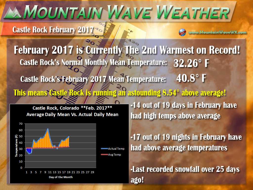
A quick update on our winter storm set to affect the area tonight and into Tuesday morning; we will be backing off on snow totals slightly with the new data that has come in overnight. The biggest concern will be the lack of strong up slope and the warmer temperatures. As I have mentioned previously, this is not set to be a major storm, certainly nowhere near the impact of the storm we had to start February. Storm systems that slide out of the Northwest generally do not give us long and extended periods of snowfall to create a large storm.
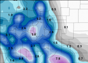
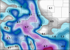
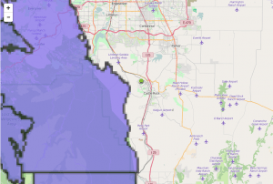
My biggest concern at this time is that temperature gradient, there will be a very sharp line of more rain vs. more snow and whichever side your area lands on will see more snow or more rain and less snow. This can be seen quite well on the model runs:
You can see the very clear East/West contrast in snowfall and the line sits right over Central Douglas County. If this line should move further east we would see higher snow totals around town, but this looks unlikely at this time. Right now it looks far more likely that the line could shift West and we could see little to no snow accumulation over the immediate suburbs South of Denver.
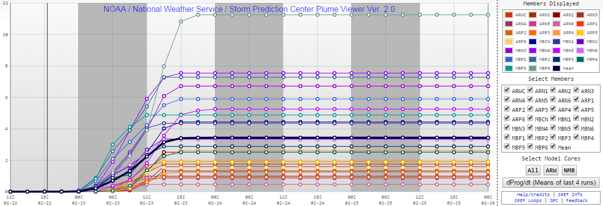
All models are in agreement with the forecast so far, even the SREF plumes support a good 2-4 inch range for the Castle Rock area and areas South of Denver.
Updated Snowfall Forecast
- Denver: 0-3 inches of accumulation by Tuesday
- Castle Rock: 2-4 inches possible; some areas in the Western part of town may see slightly closer to the 3-6 inch range
- Western Suburbs: 4-8 inches, mainly in the foothills areas West of Denver and Southwestern Douglas County
Overall, very little change in the forecast from yesterday, Denver’s low end got bumped down slightly as some areas have a stronger possibility of no snow. Castle Rock proper has been bumped down slightly, the temperature gradient will play a big part and I think this storm will struggle to produce much more than 4 inches in and around town. The exception will be areas immediately West and South where 3-6 inches will be possible. Foothills have stayed the same, no change there.
Impacts
The storm still looks on track to affect us late Monday night into Tuesday morning. Probably midnight Tuesday through about noon Tuesday morning looks like the most likely time to see accumulating snowfall. It may begin snowing as early as 9-10pm Monday night though…
- Strong northwesterly winds
- Accumulating snow overnight Monday into Tuesday morning
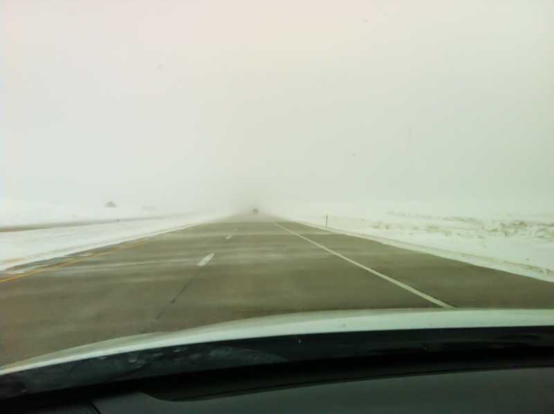
- Expect a slow commute Tuesday morning into work, especially if travelling from the South and West suburbs into Denver
- Roads could be slushy and slick in some areas, leave extra time.
**One extra note:
Latest Colorado Weather Watches and Warnings
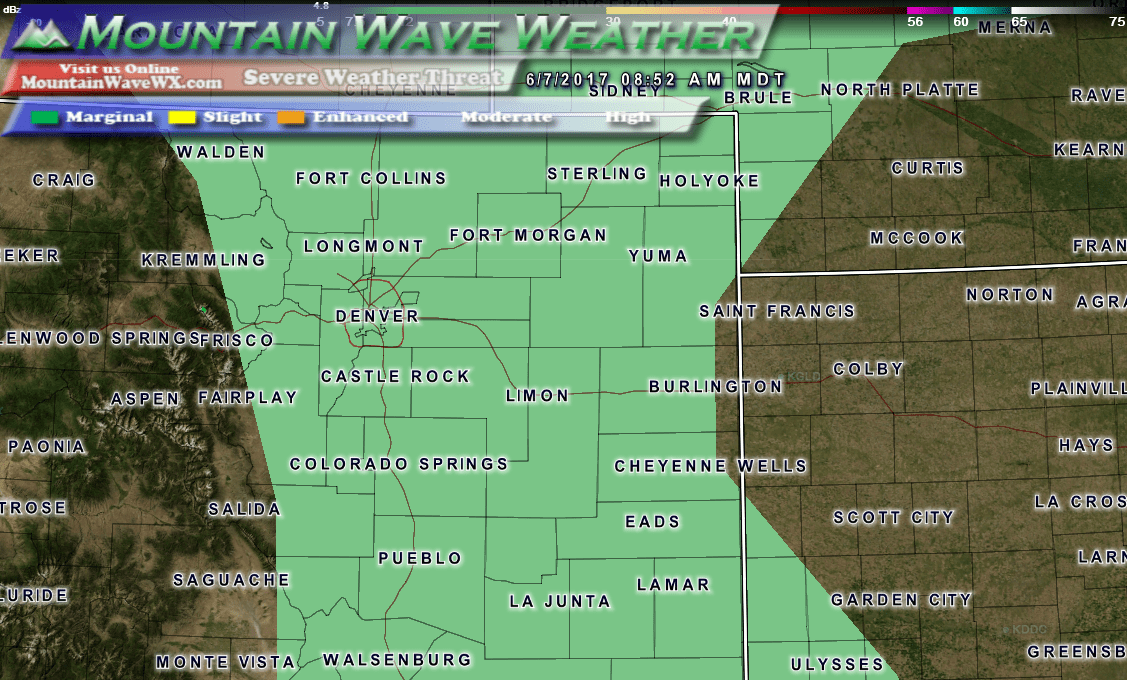
There are Winter Weather Advisories out but currently they do not include Castle Rock, Denver or the other Southern Suburbs. We do not expect enough snowfall accumulation to make travel exceptionally dangerous, however do expect some slick spots coming in from Monument up through Castle Rock and into Denver Tuesday morning. So mainly, just expect a slow commute.
Snow day looks very unlikely with this storm for the Castle Rock area so don’t plan on a day off Tuesday.
I will have one more update regarding this storm late this evening as I get new data in, happy Monday!

