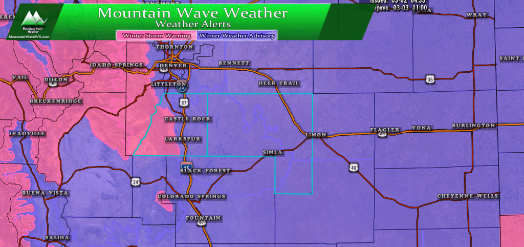
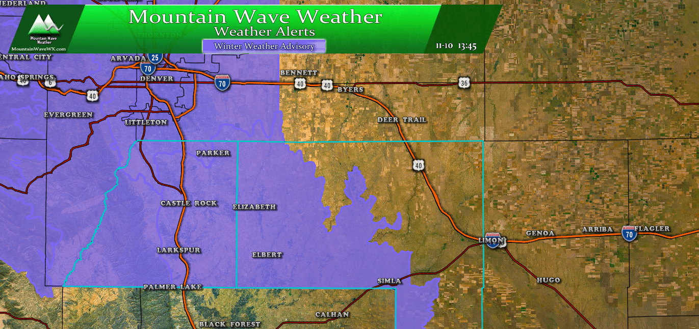
Winter Weather Warnings/Advisories as of 8AM 3/2/2019
The only changes to the advisories and warnings as of this morning is the inclusion of the Winter Weather Advisory for most of Eastern Colorado. We will be watching this closely, if the NWS believes there is a high probability of over 6 inches of snow accumulation over the Palmer Divide… we may see this upgraded to a warning.
You can see Douglas County/ Castle Rock specific weather warning details on our page here.
Our Forecast and What To Expect
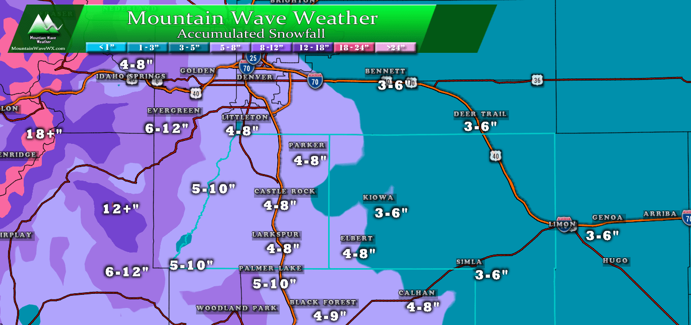
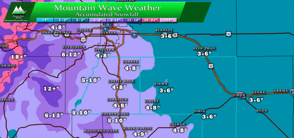
Expected Snowfall (through Sunday evening)
*These are our forecast numbers and may not always match the NWS official forecast numbers*
- Castle Rock and surrounding areas
- 4-8 inches
- Parker, Lone Tree, Highlands Ranch areas
- 4-8 inches
- Elbert, Elizabeth, Kiowa
- 3-6 inches *locally higher amounts, especially in Western Elbert county*
- Larkspur, Monument
- 4-9 inches
- Woodland Park, Palmer Lake, W. Colorado Springs Foothills
- 5-10 inches *Woodland Park area may see over 10 inches in some areas*
Timing
- Fog and low clouds will prevail Saturday morning as the storm begins to set up. Light snow showers will be possible
- By after 12PM snow intensity should start to fill in. Currently modeling has the heavier stuff starting around 12-2PM across the Palmer Divide
- Heaviest snow looks to fall between 4PM and 12AM Sunday
- Lingering snow showers possible into Sunday morning and early afternoon
Potential Impacts
- Due to the cold temperatures expect roads to become slick quickly
- Heavy snow in some areas will cause visibility and traction issues
- Extremely cold temperatures into Sunday will keep roads icy
Models
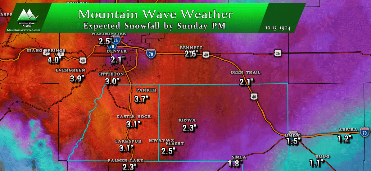
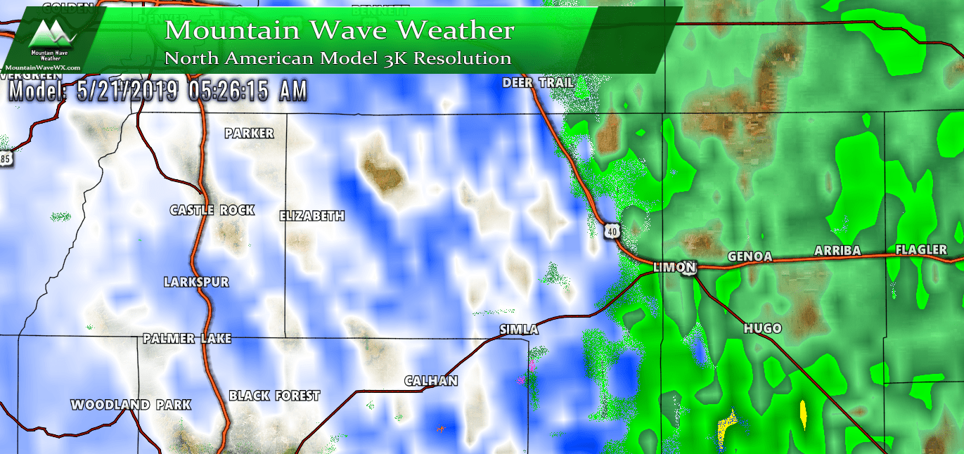
The nice thing about this storm is that this morning we are seeing model agreement (to some degree but we won’t be too picky) for snowfall. Most models fit nicely into our ranges we had been thinking yesterday but with a slight uptick. That information combined with the fact that we are seeing a ton of moisture streaming in and the fact that extremely cold temperatures could boost snow/liquid ratios… we slightly upped our snowfall total forecast for some areas since yesterday.
- GFS
- 5.0 inches
- Euro
- 4.0 inches
- Nam3K
- 4.0 inches
- HRRR
- 5.8 inches
As of the writing of this post, more of the lower resolution models are coming in for the morning and are pretty much staying close to these predictions.
Summary
So, another interesting day on tap. I’d recommend you finish up your plans and start looking at heading home by mid afternoon. When the snow does move in this afternoon, some areas will see some fast and furious snowfall accumulation so be ready for that!
May have one or two more small updates today if things look to change, otherwise this storm is looking on track right now. Stay safe, stay warm and be prepared this afternoon!



I just learned about this site and like the way it is specific to Parker and the Palmer Divide area.