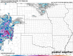
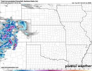
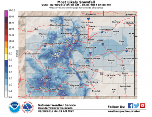
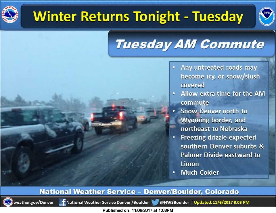
Another fast moving storm system is making its way into Colorado through the day on Tuesday. Just like the storm we saw last week, we’re not anticipating a lot of snow out of this one, but the timing could make things interesting for Tuesday afternoon into Tuesday evening.
We generally don’t get too excited for storms projected to leave about an inch or so of snow in the area, but we saw what happened last week when an inch became a few inches and the worst of it hit right around rush hour. There are concerns that this storm could be similar in that aspect but a lot still has to come together. There is equal probability that this storm does little to nothing to impact our commute.
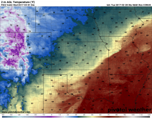
The other concern is always the drop in temperatures and flash freezing. This causes the roadways to become quite messy. Temperatures will begin dropping slowly in the afternoon hours with a larger drop into the evening.
This storm looks similar to last week’s quick storm that moved through on Thursday. It doesn’t look too special on our models but the dropping temperatures coupled with the timing moving into rush hour means the POTENTIAL is there for this storm to make for some tough travel conditions. Again, this is for areas mainly South of Denver, so keep this in mind for the commute.
Storm Forecast
Latest model guidance has decreased overall snowfall accumulation recently but most are generally in agreement for the 1-3 inch range for Castle Rock. The Palmer Divide area will see the best chance of snow accumulation but overall amounts will be light. The combination of dropping temperatures and quick bursts of moderate snow in the afternoon hours means we will need to keep a close eye on road conditions for the commute, mainly South of Denver.
Timing
- Snow is expected to begin late this morning into the afternoon hours.
- Latest models show the heaviest accumulation beginning sometime around 1-3PM and lasting into the early evening hours.
Snowfall
- 1-3 inches is now expected for the Castle Rock area.
- Model guidance agrees that accumulation will be very spotty, some areas could see slightly more while others could see less or no snow at all. This will depend on where those heavier snow bands set up (unfortunately models are bad at picking these features up…)
Impacts
- Expect moderate impacts to travel South of Denver in the later afternoon and early evening hours.
- Cold temperatures combined with bursts of snowfall could make flash freezing and snowpack on roadways possible.
We’ll keep an eye on things this afternoon and relay any forecast updates as necessary!


