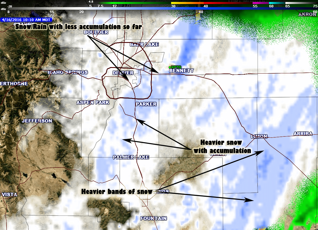
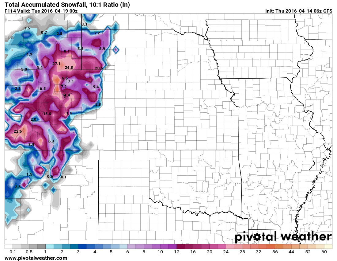
This storm threw a few curve balls at us as early as this morning and it continues to do that with the data we’ve been getting in early this afternoon. The storm sped up a bit last night, tapped into colder air than expected and even shifted its track and has continued to do so throughout the day. All this means a lot of surprises for weather forecasters and a lot of grumbling from folks who weren’t quite prepared for a storm of this magnitude. Let’s take a look at the latest!
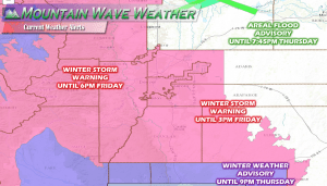
Current Weather Warnings
- Winter Storm Warning (areas below 6,000 feet elevation)
- Winter Storm Warning (areas above 6,000 feet elevation)
- Winter Storm Warning (western foothills and mountain areas)
- Winter Weather Advisory (Southern areas of the Palmer Divide)
- Areal Flood Advisory (In and around Greeley)
–Full Winter Storm Warning Details for Castle Rock and Douglas County–
Latest Storm Update
Timing
- The time is now, rather the storm is here and is moving through the area. Originally we expected the heaviest precipitation late Thursday night into Friday morning.
- We’ve seen heavy precipitation already this morning in the form of rain and snow… snow accumulations got started earlier than planned.
- Expect on and off snow showers through the day and into tonight. Heavier bands of snow may re-develop later this afternoon and last into the evening hours.
- By late evening into tonight snowfall should begin to taper off, think past about 9-10Pm.
Impacts
- Tree damage is already happening, the heavy snow has broken limbs, but the warmer temps have helped that a bit this afternoon. Expect more effects on the trees and plants as we move into the evening if snow starts falling heavily again.
- Power outages from lines loaded up with snow are possible.
- Keep a close eye on the Thursday evening commute. Heavier snow bands will make for tricky travel conditions in some areas.
- Freezing conditions still expected tonight, at the very least cover up the outdoor sprinkler equipment, draining them would be better.
We are not done with the snow just yet, keep that in mind if you’re about and about this afternoon!
Synopsis and Modeling
This will be an interesting storm to reflect on because for some areas there were a lot of good forecast but for some others it was very difficult due to that pesky “rain/snow” line and temperatures. If things continue how they are, models will be wrong for much of our area but so will some meteorologists… at the end of the day we try to focus more on impact forecasts rather than hard snowfall numbers. 2 Inches of snow can be very treacherous if it comes down fast enough and freezes on the roadways, so can 12 inches.
HRRR model
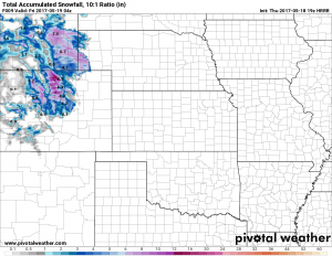
This model behaved relatively well except for a couple of large bounces last night that I pretty much threw out. I figured getting 20+ inches for Castle Rock was a stretch, at the end of the day our snowfall accumulation may very well end up between this model and my forecast. The event is not over just yet so it can still go either way. The latest run of this model shows an additional 4 inches of snow on top of what we’ve had so far by 10PM tonight.
More Snow! A lot or a little?
There are two scenarios here, the overall evolution of this storm can go either way but if everything behaves as we see it now, expect another 2-4 or even 3-6 inches on top of what we have right now. Some higher elevation areas may see higher amounts than that based on where temperatures end up.
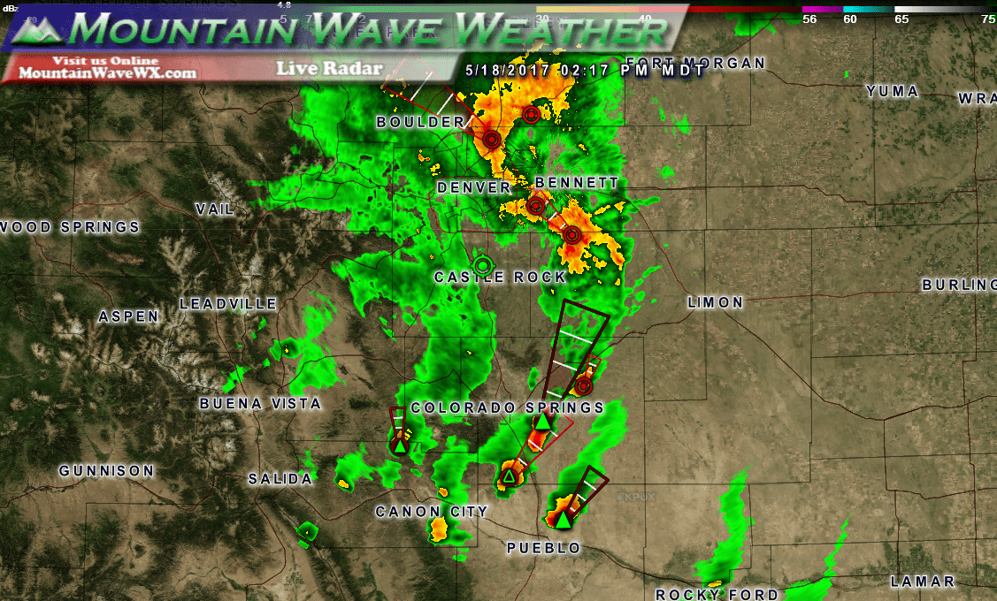
Another interesting scenario could set up, see those big thunderstorms to the East and Southeast and notice the big dry slot to their West? Big storms like that can suck up a lot of moisture and energy, we see them do it all the time. If these things take enough out of the atmosphere our snowfall and storm energy may be decreased.
Should be interesting to see, the overall storm track has shifted North meaning areas South of Denver will start to see decreased snowfall as the evening goes on into nighttime.
We’ll keep a close eye on things this afternoon and throw a heads up out on our facebook page if we see heavy snow starting to develop again.

