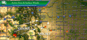
Take a quick look at an overlay of large active fires and surface winds this morning in Colorado and you’ll see exactly where the smoke is coming from. Large fires to the Southwest and South with strong winds from the Southwest and South are acting as a conveyor belt to move all of that smoke into the area. The smell is quite strong, so be aware that air quality issues will exist today.
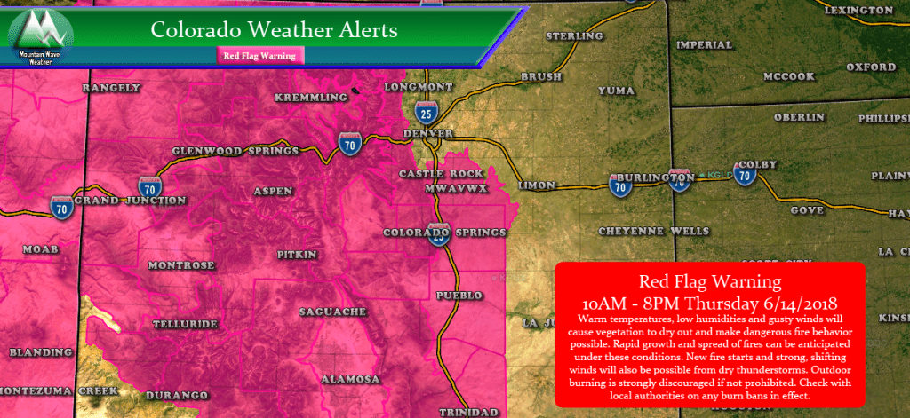
As of the time of this article writing, there are no large fires active in Elbert or Douglas County. That being said, don’t let your guard down; extreme fire conditions exist today for a good chunk of the Palmer Divide and nearly all of Central and Western Colorado.
Fire Danger will be extreme today so be vigilant, no burning or activities that create a spark and/or flame. Additionally, if you see an area of smoke (that isn’t related to what we already have in the air) call 911 and report it immediately.
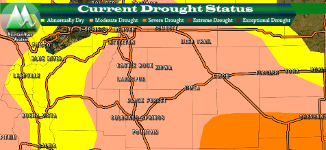
It looks like we will have a few more days of conditions like this until our pattern changes early next week. Hopefully that will offer us a bit of relief from the heat and the dry conditions. We will have more details on that this weekend!



Crazy heat. Hazy here. Can’t even see the mountains from my house.
Looks like that will be the common theme for this summer, unfortunately…
~John (MwavWX)
Any chance you’re going to make a smoke map part of your regular reporting in the summer? It’s been hard to find a map of any kind that can give me an idea of where the smoke will be or is heaviest.
I’m actually working on a smoke information page and that will be one of the features (I can use a weather model to show where smoke will be heaviest in the coming days too) Just finishing up getting the data over and modeled on the site, hope to have it completely finished in a week or two.
https://mountainwaveweather.com/smoke-tracker/
Thanks for the question! 🙂
~John (MwavWX)