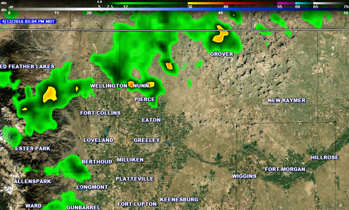
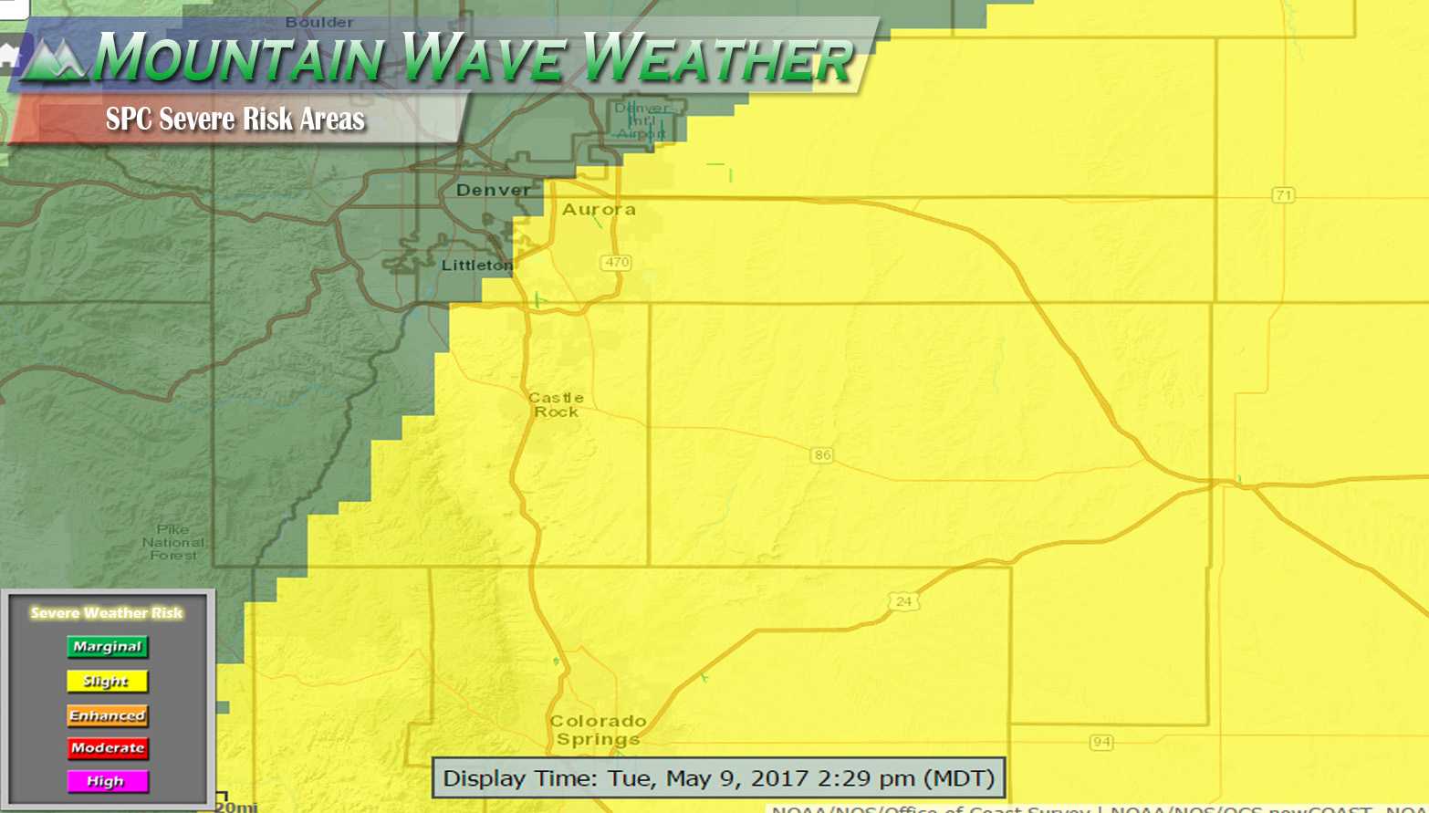
The National Weather Service in Denver confirmed a weak tornado touched down North of Greeley this afternoon.
This makes for the first recorded tornado of our 2016 severe weather season.
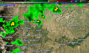
Gust Front Tornadoes or “Gustnadoes” are weak and don’t form within a typical severe thunderstorm. Therefore, they are usually very difficult to pick up on radar (this image was capture right about the time this was reported.)
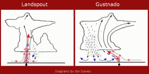
The type of tornado was what is often called a “gustnado” short for gust front tornado. These are a unique type of tornado formation that are often seen not just in Colorado but all over tornado alley. These storms are unique because the don’t form the same way tornadoes typically do and belong to a classification known as non-supercell tornadoes. This means they form without a supercell (severe thunderstorm.)
Gustnadoes form when cooler air falling from a nearby cloud or storm gets caught in the storm’s updraft. The different directions of air near the surface can cause the updraft to begin spinning up and into the storm.
The good news is that this type of tornado is usually very brief and very weak. They make for great pictures and rarely do any damage. Put it in the books folks, Colorado has officially started severe weather season!

