If you’re a big fan of being able to get out and about under sunny skies and warm temperatures, you’re going to love this weekend’s outlook! We are ramping up for some of the nicest weekend weather we’ve seen in a very long time.
Outlook
Friday May 20, 2016
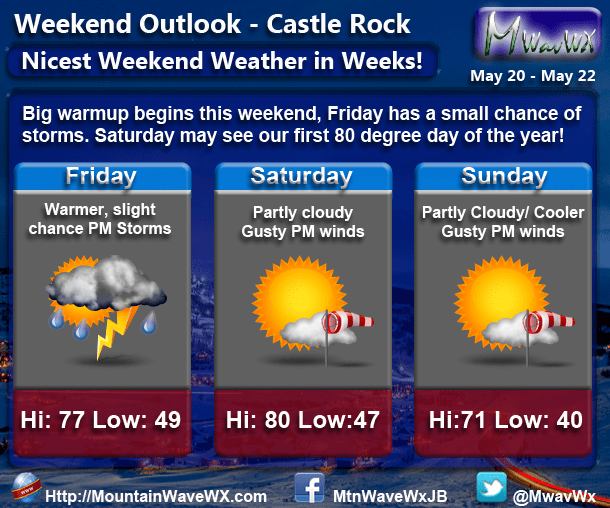
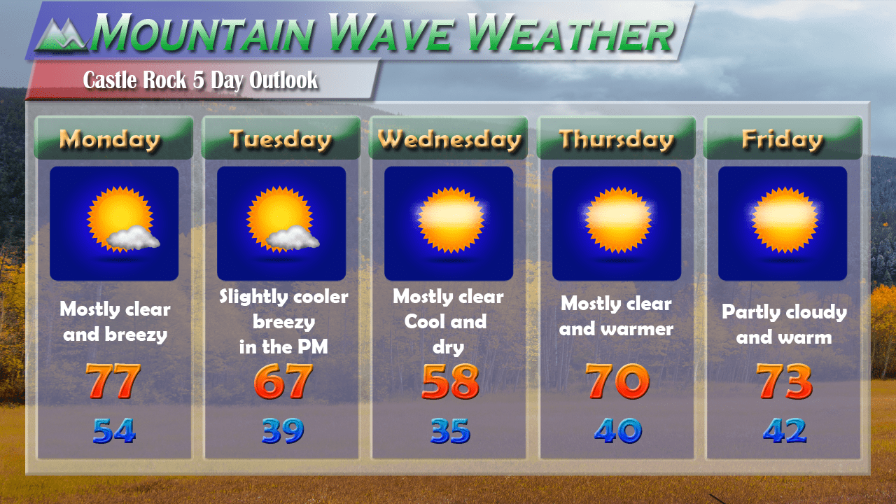
The big warm-up starts on Friday, high pressure will build into the area and keep most of the wet and soggy weather away. Temperatures will generally be in the upper 70’s to near 80 along the Palmer Divide. Because of a bit of moisture left in the air and instability present, some modeling picks up on the tiniest chance of an afternoon thunderstorm. The chances are quite low that any one area sees these storms (10% roughly) and any storms that do form will be widely scattered.
Saturday May 21, 2016
This will be by far the best day of the weekend, many areas will see their first taste of 80 degree temperatures this year! Expect winds to pick up in the afternoon and become gusty into the evening, other than that rain and storm chances are very low to near zero.
Sunday May 22, 2016
A cold front is projected to move through early Sunday and because of that it will be a bit cooler. Expect windy conditions in the afternoon once again as the front continues to bring somewhat cooler air in behind it. Storm chances don’t look overly impressive but I’ll be keeping an eye on this day in case things change.
Synopsis
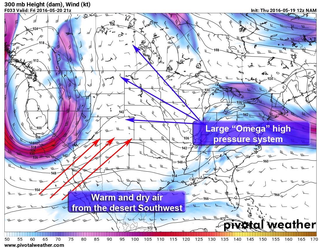
The storminess of last week continues to move East of Colorado and the dominating feature that will contribute to our stretch of warm and dry weather this weekend is the building of a large high pressure system over the middle of the country.
This type of high pressure system is called an “Omega” high pressure system as it often resembles the symble Omega. It is basically a well pronounced ridge in between 2 low pressure systems and it means areas under the ridge see warm and dry conditions. The ridge is able to pull warm and drier air from the desert Southwest up into the mountains and plains of Colorado. This limits instability for thunderstorms so we generally don’t see many under this type of pattern.
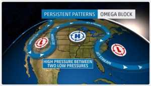
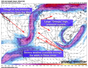
Omega High Pressure with 2 low pressures… often called an “Omega Block” as it tends to block or slow the system behind it for longer periods of time.
Saturday features the same pattern, in fact we see this pattern persist all the way through Sunday so expect nice weather through the entire period. The nice thing about “Omega” high pressure system is they generally cause the low pressure system behind them to slow down, this can mean longer stretches of nice weather followed by longer stretches of unsettled weather. The big elephant in the room though is the large low pressure system off to our West.
As we get into Sunday and early next week we see the ridge moving East and the trough following closely behind. This is one thing we will watch closely for next week, when we see a strong jet moving through with an associated trough this time of year it can really set the stage for severe weather. I’m not terribly concerned just yet for Colorado but some of the plain states are going to have some rough days next week.
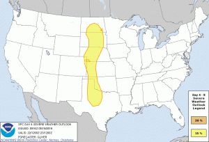
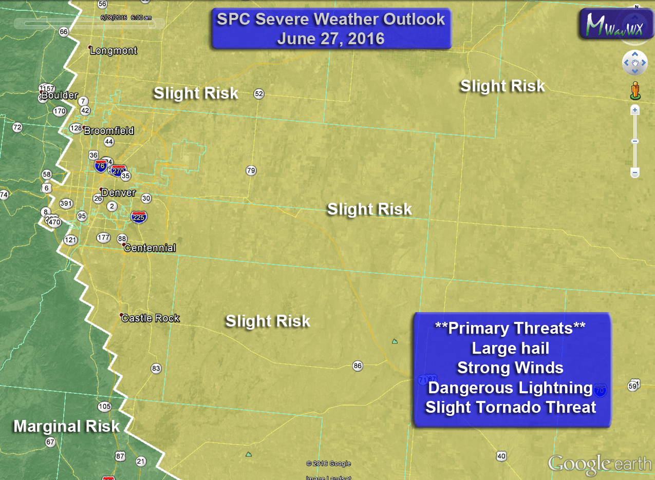
The Storm Prediction Center has an initial area of concern highlighted for Sunday, most of Colorado is not included but as is often the case with these storm systems, any shift in track can move the threat area further East or West towards the Denver area. I suspect there’s going to be a lot of areas of concern for severe weather in the central and high plains of the U.S. next week. If you are travelling or have family in those areas, keep an eye on the forecasts.
That’s it for this update, have a great weekend and enjoy the weather!

