Weekend Forecast for Castle Rock
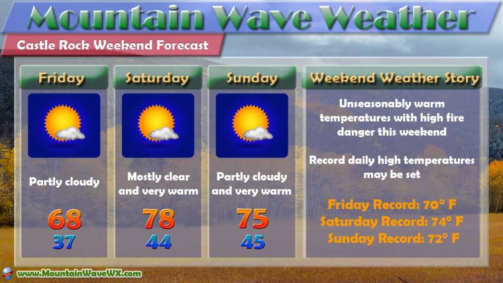
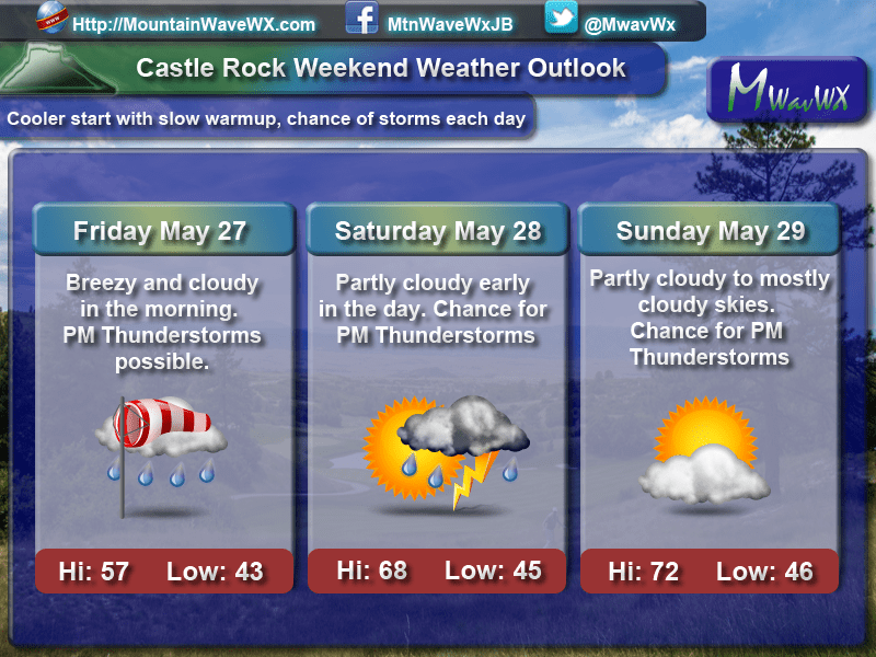
If you love warm weather or are looking to get out and about over the next couple of days, this will be your weekend! We are expecting highs in the upper 70’s to near 80’s along the Palmer Divide and many areas a bit lower in elevation may very well see highs into the lower 80’s!
Needless to say these temperatures are unusually warm for Castle Rock around this time of year and the weekend temperatures look like they will break records. I’ve posted the official record for each day (from Centennial Airport, our closest official station) and have little doubt that Saturday and Sunday will set new records.
Please keep in mind, fire danger will remain high through the weekend so be careful out there!
Drought Status Update
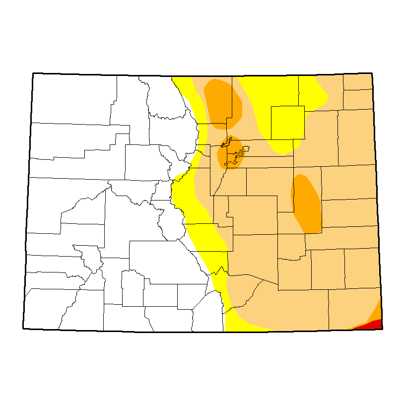
Many areas remain unchanged but some changes were noted in the latest drought update this week. The Denver metro area and adjacent foothills are now classified as D2 Severe Drought mainly due to the lack of consistent snowfall and extremely dry conditions.
Nearly all of Douglas County remains at a lower level D1 Moderate Drought. As dry as we have been, why haven’t we been upgraded to a more severe level of drought? Simply put, even though we haven’t seen a ton of snow in our neck of the woods this year, we’ve seen significantly more than Denver has.
Castle Rock Season Snowfall: 25.11 inches
Denver Season Snowfall 19.3 Inches*
Recorded at DIA, some areas in Denver have seen less!
Not to mention, when we have warm and windy days, Denver has been warmer, drier and windier in most cases. Will Castle Rock see severe drought status soon? That depends on how our April shapes up, long range models are hinting at a pattern change that could bring decent moisture to our area as early as late next week. How long the pattern flips and how much moisture it brings will determine whether our drought status stays the same or gets worse.
Pattern Change You Say?
Yes, I said that. There are hints in some of the long and now medium range models that a major pattern change could happen in the near future. I don’t want to get too much into specifics as it is still a long ways out and the possibility of that forecast verifying is equally likely to it not verifying.
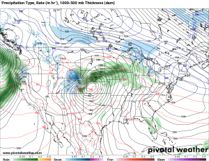
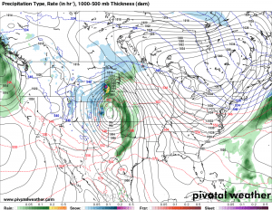
Longer range GFS showing a classic “Panhandle hooker” or “Albuquerque Low” depending on what you want to call it.
I posted this image late last night on my facebook page and it generated a lot of interest. Notice I took the date off as this is far enough out where its accuracy must still be taken with a large grain of salt. I think posting a shot like this and getting all excited about it would be the definition of “weather hype” although I imagine you’ll start hearing some TV weather station talk about it already. (We don’t do hype here… 😉 )
A few interesting things about a model showing something like this though;
- The fact that we are picking a system up like this is promising, it means we could have the potential for a major pattern shift along the front range.
- This is not the only model showing something like this, although not each model agrees on positioning and as we know, location is everything!
- There’s not a ton of cold air to work with right now with this setup. IF this were to verify (still a very big IF) it would most likely be more rain than snow… which is ok. We need any moisture we can get!
This image shows the GFS run for a few days after the above mentioned storm. Notice this low takes a similar track and again the positioning is not important at this point. The fact that we are seeing things like this more consistently is VERY PROMISING! Additionally the model even shows a third storm after this one in about the same area!
So, moral of the story here is that while none of this is guaranteed yet, it would do us well to not complete write off our snow season just yet. In the meantime, don’t get too excited about this just yet. We’ll keep an eye on this over the coming days and be sure to pass along any updates!
Have a great weekend!
Apologies for no dates on the models but I did this for a very good reason. Getting too worked up about these at this point would be hype and I am not a big proponent of that. If you listen to the TV news close enough you’ll figure it out, they’re already latching on to this pretty well.

