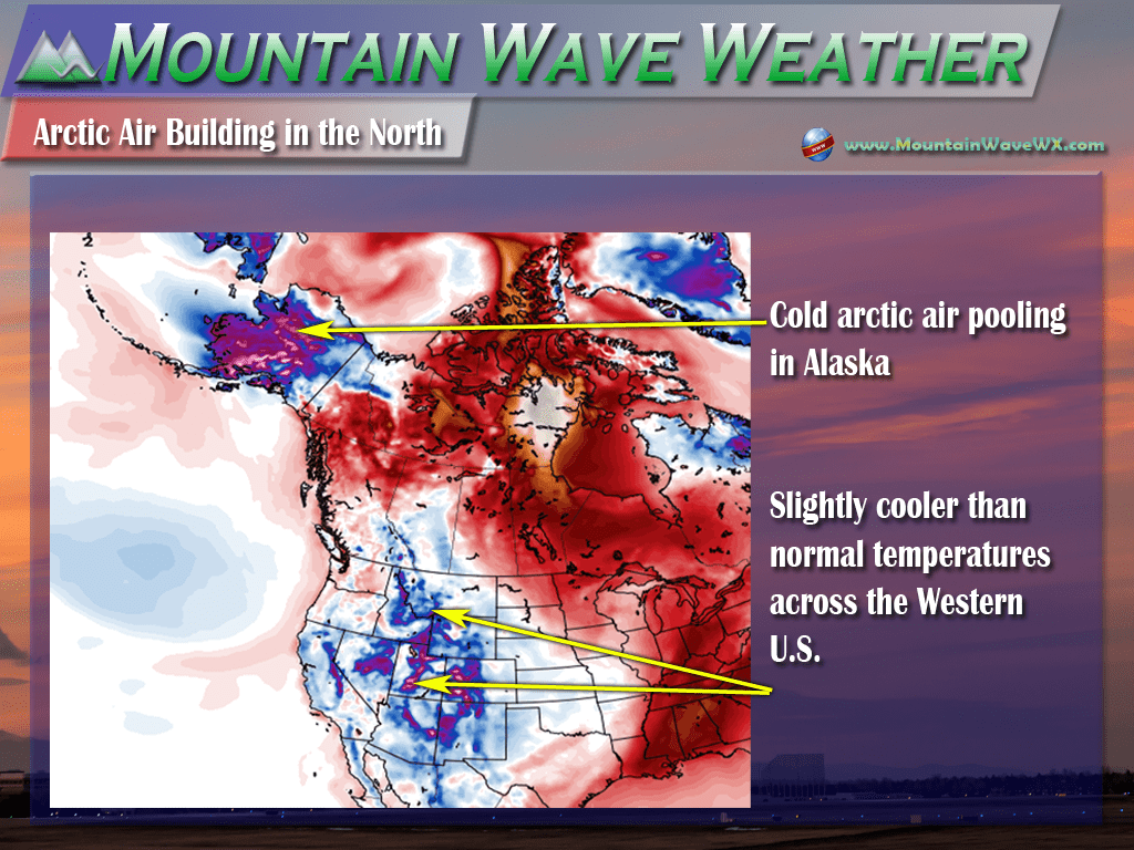
Our long range models have been picking up on some interesting happenings in the arctic regions of Alaska the past few days. We are keeping a close eye on this because what happens there and how it moves will bring big changes to Colorado’s weather sometime next week.
Temperatures for most of Colorado have been hovering around normal to slightly below normal for most of this week. All indications are that we are entering a cooler weather pattern for Colorado extending out for the next 7-14 days. This is true not only for Colorado but much of the Western U.S. which has been scorching for most of the fall so far this year.
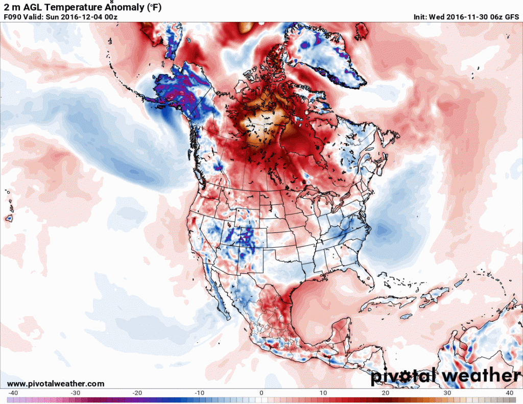
Notice the cold pool of air in Alaska. This feature has been building for several days now and some parts of Alaska have experienced temperatures of -20 to -40. Not terribly unusual for Alaska this time of year by any means, but we are more concerned with what happens when this cold air breaks loose and where it moves.
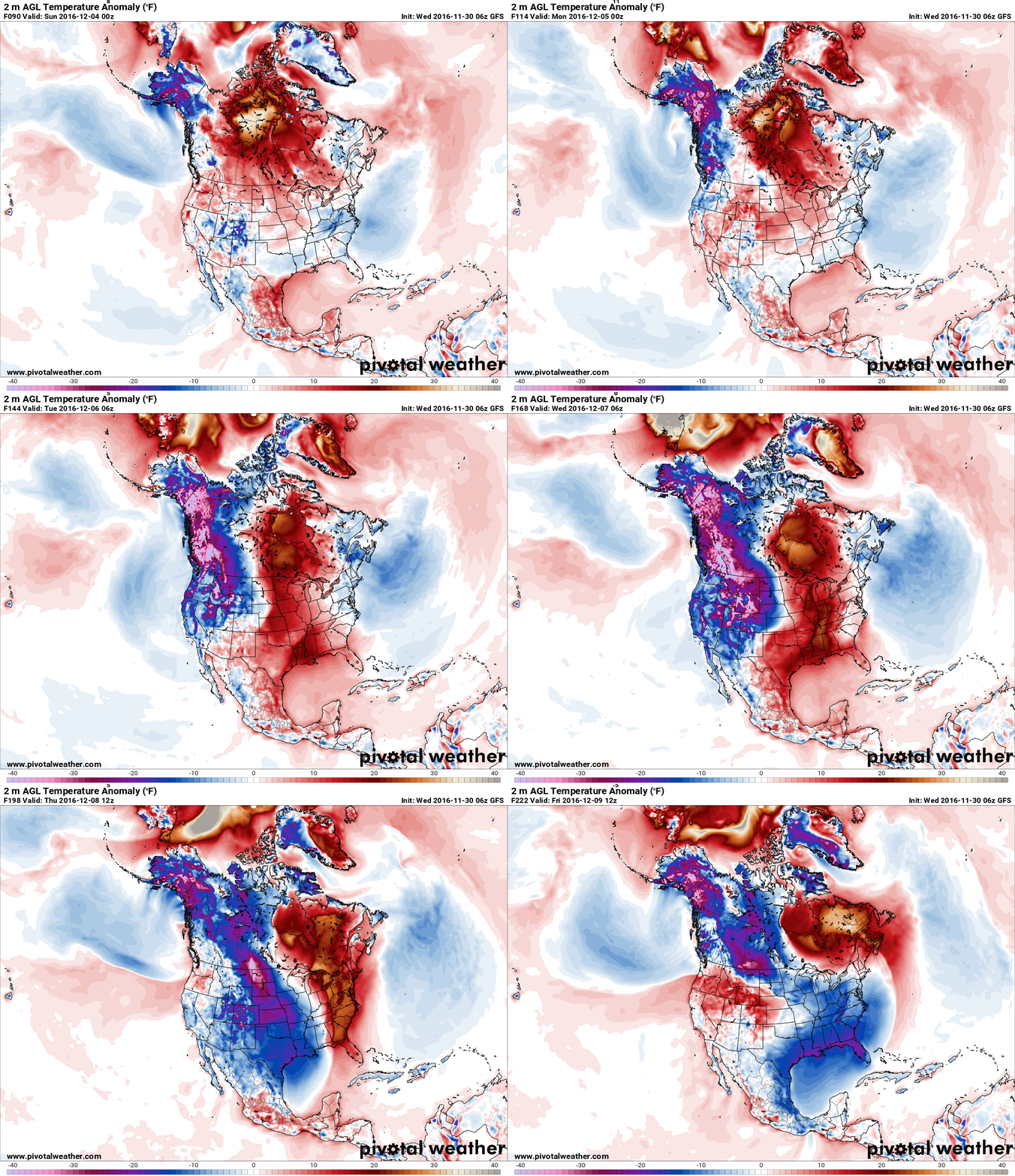
Watch what happens to that cold air going into next week…
How Cold Do We Get?
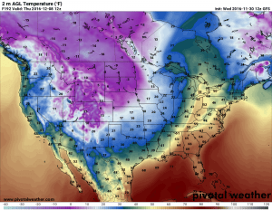
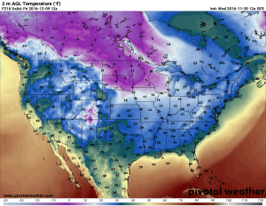
Keep in mind, this is a long range model so exact temperature numbers are not terribly accurate with this time frame. With a model snapshot this far out we are simply looking for the general patterns rather than the finer details. Most models like this struggle with accuracy more than 5-7 days out. That being said, when we dial up the low temperatures for the Wednesday through Friday time frame next week we get the following:
The overall pattern looks very cold with this storm however, I do believe the cold temperatures a bit overdone when I look at this model with some of the other data I’ve seen. Some models don’t have the colder air making it as far South while others have the cold pocket moving South or even East of Colorado. This still says there’s some uncertainty with the forecast on this storm (as we’d expect this far out.)
For right now, if I had to take a best guess; I’d expect daytime temperatures to be in the teens and twenties with night-time temperatures in the single digits, to around zero to slightly below zero. This is all highly subject to change though being this far out so stay tuned for changes to the temperature forecast. Coldest days look to be Wednesday and Thursday, but notice Friday starts a slight warming trend. The cold air will be quick to move through and doesn’t look to stick around for more than a couple of days.
What About Any Snow?
At this point in time, we can’t say anything much about snowfall totals during this storm for any particular area. It is simply too far away and the longer range models don’t pick up those details very well. All we can look at is the overall pattern of this storm and apply it with information we’ve seen in previous winter storms of this type.
Let’s take a checklist approach to this storm system with what we like to see for big snow in Denver and what we are seeing with this storm:
| Ingredients for big snowstorm in Denver | What we see with this storm system currently |
| Storm direction from South or Southwest | Storm direction generally from the Northwest |
| Low pressure moving from the West or Southwest and setting up along the Colorado/New Mexico border. This allows moisture to be transported into Colorado from the Gulf of Mexico (needed for bigger snows) | Low pressure dropping South from Canada and only making it to central Colorado. (This will affect available moisture for the storm to work with along the front range.) |
| Large amount of cold air into the area from the North | This storm will have ample amounts of very cold air to work with |
| Storm system needs to set up in the proper area (see above) and stall over that area for an extended period of time to enhance moisture return, upslope and snowfall totals | All indications are that there is no blocking pattern East of us to stall out this storm. As such, the storm system is only expected to impact Eastern Colorado for a day to three days and then quickly move East. |
There is a lot more to look at than just what I’ve provided above but those are a few of the big details. Storm systems that move from the Northwest and quickly East don’t have a good track record of providing large amounts of snow for locations East of the Continental Divide in Colorado. That’s not to say that it couldn’t be a big snow-maker for the Palmer Divide area, just that the odds are low at this time.
The main takeaway here is that this storm has a ton of energy and where it sets up shop as well as any other weather features around it to our West or East could make a huge difference. At this time we will go with lower amounts of snow for Castle Rock and surrounding areas but will be keeping a close eye on this system into early next week to see if any of this changes.
**NOTE: This type of pattern is very favorable for the mountains, especially the Northern and Central areas. Expect heavier amounts of snow and possibly some good skiing days next week and into the next weekend. Again this is based on a pattern not a forecast so keep an eye out here for changes.
A Quick Disclaimer
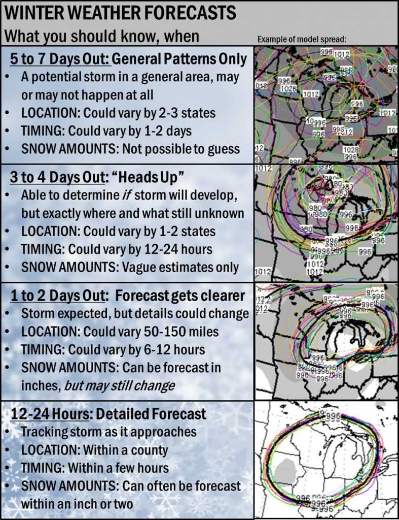
Winter forecasting for Colorado is tricky in general but especially for Colorado because we have so many more variables (terrain being the largest) with making a forecast. I’ve seen several news outlets already declaring 1-2 feet of snow for Denver next week. I’ll just say this; anyone who is giving you hard snow totals more than 5-7 days out is simply put; goofy. You will never see me do that and in the rare case I give snow totals more than about 5-7 days out, it will always come with a heavy disclaimer.
Our friends at NWS Dodge City provided this handy graphic about winter forecasting and I couldn’t say it any better myself:
Keep an eye out here at Mountain Wave Weather or your favorite reliable local weather source, especially into early next week. We’ll be keeping an eye on this storm system and will be sure to update with any changes to the forecast. We’ll also give a good heads up if the storm looks to get heavier or nastier on the snow totals. Stay tuned!


Thank you for the best weather forecast out there!!! I live in the Meadows and follow you as you seem to have the best handle on what is going to happen in our area.
Thank you Leigh! I’m in the meadows too, while the news stations cover Castle Rock sometimes they don’t seem to mention us very much. They don’t seem to mention the Palmer Divide area much except a passing comment here and there. Our weather here can be so different because of our higher elevation and terrain, so I just thought I’d use my weather knowledge for more specific forecasts for our area. Thanks so much for reading along! 🙂