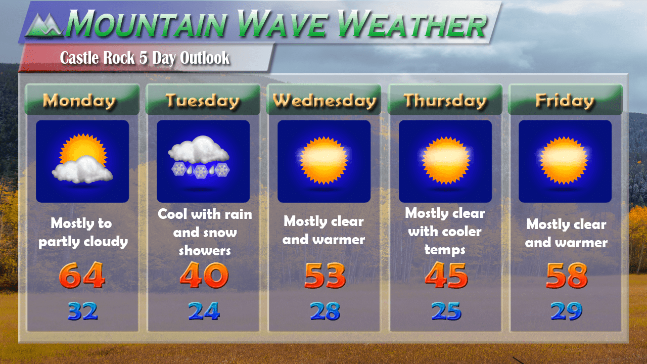
Clouds are increasing around the area today in advance of our next storm system. This one doesn’t look terribly impressive but I do believe we have a decent chance of seeing an inch or two of snow. Especially the higher elevations South of Denver and along the Palmer Divide. Expect this storm to begin impacting us late Monday night into early Tuesday morning.
Our Next Storm System
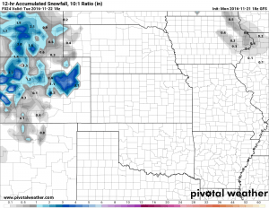
The GFS was surprisingly one of our more accurate models on the last storm system (that’s unusual for this particular model) but perhaps it’s worth keeping a closer eye on this model for the year. It shows a higher trend of snowfall accumulation in areas South and East of Denver. This seems similar to what we saw with the last storm but this system has considerably less moisture to work with. Still, it’s worth keeping an eye on to see if this storm can slightly over perform like the last.
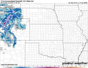
The HRRR doesn’t quite have the whole system fully in range but it too shows snow accumulation along the Palmer Divide. These two models (HRRR and GFS) called the last storm most accurately so we’re keeping a better eye on them. It shows about a half inch to an inch on the ground by Tuesday morning.
Forecast
- Precipitation may start as rain in the late night hours of Monday into early Tuesday morning. It will change to snow in the early hours of Tuesday but intensity is expected to remain light.
- Model agreement at this time is on 0-2 inches of total snowfall by Tuesday mainly along the Palmer Divide and Eastern areas of the state. The mountains will see several inches of snow in most areas (3-10 depending on location.)
- Snow looks to end in the mid to late morning hours on Tuesday
- Temperatures don’t look to get quite as cold with this system so the roads should be ok for most areas. Keep a close eye out for slick conditions South of Denver on Tuesday morning however.
We will keep an eye on the forecast and let you all know if anything looks to be changing.

