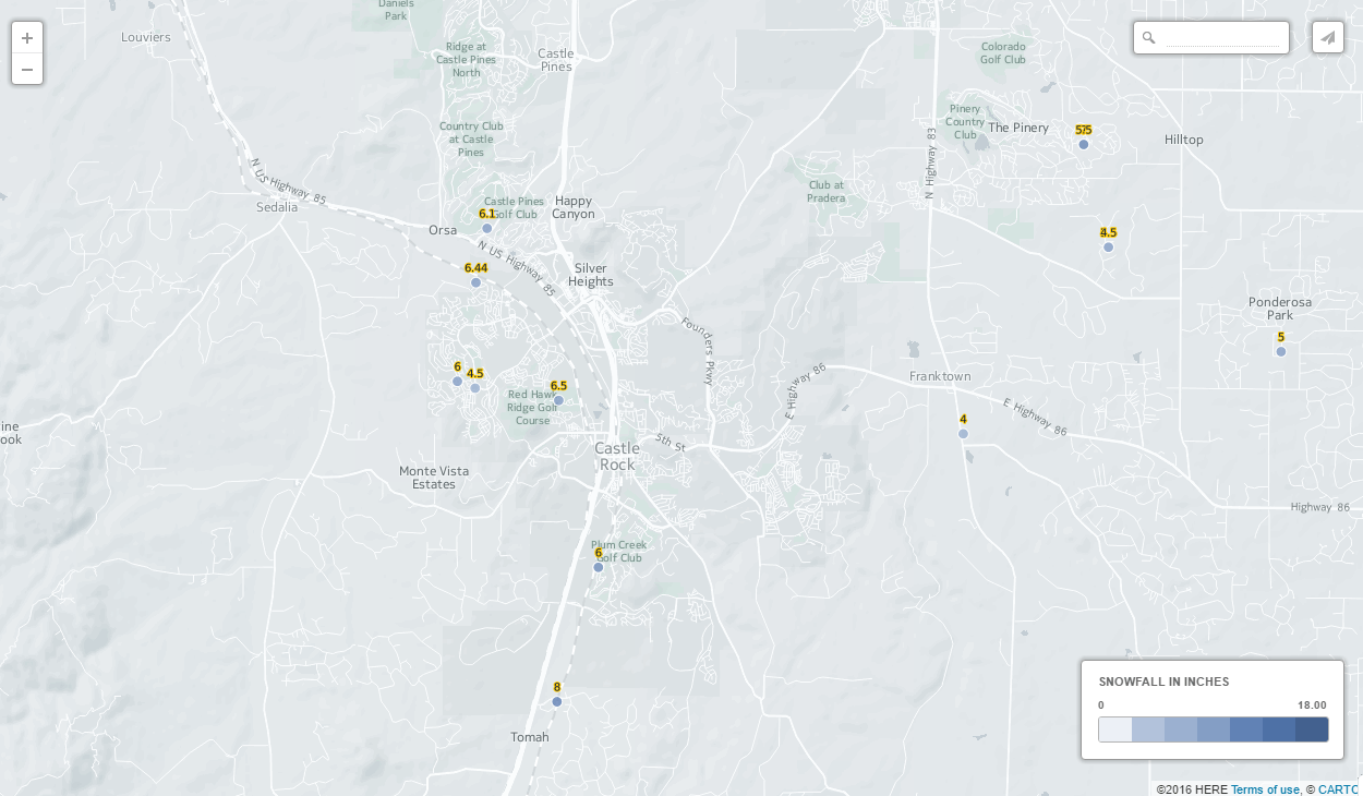
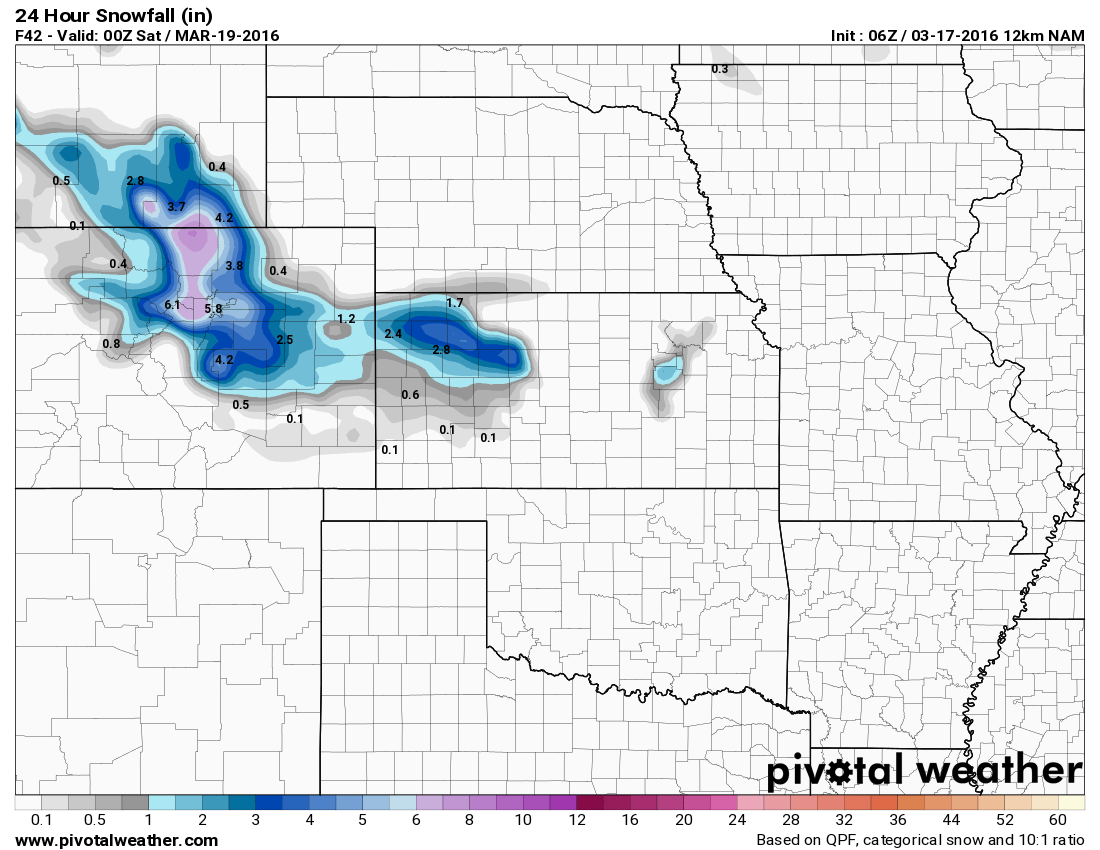
A storm moving into the area late this past Friday into Saturday brought very cold arctic air and a good shot of snow to the Castle Rock area. Not everyone along the Palmer Divide saw decent snow though, in fact areas of heavier snow accumulation were extremely spotty. Case in point, see the snowfall map below, notice the big winners in terms of snowfall were much of Denver, including the Tech Center and only certain spots along the Palmer Divide.
Storm Summary
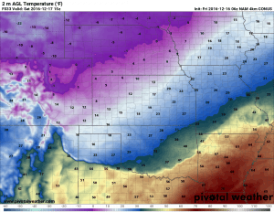
We began to talk about this storm several days ago, it looked very similar to the past several storms coming in from the Northwest. These storms often bring very cold temperatures but are often moisture-starved and don’t generally have the QP (quantatative precipitation) to produce big snows along the front range. Our forecast for cold air definitely verified and the models saw this pretty clearly, although they underestimated the coldness of the air to a degree.
Temperatures
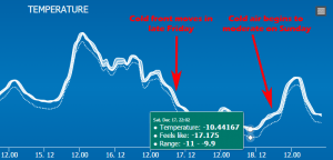
If you take a look at our recorded temperatures in Castle Rock the past couple of days, it was very cold indeed. The actual air temperature reached a low of about -10 but the apparent temperatures were closer to -15 to -20!
In terms of our forecast for cold air it was simply this; we knew it was going to be cold and I think we communicated that quite well. We had a post up on late Friday night as temperatures plummeted and snow moved in with issuance of Wind Chill Advisories from the National Weather Service. I think when it came to this part of the forecast, we were pretty spot-on.
Read the Friday Night Urgent Update Regarding Snow and Wind-chills
Snowfall
While I’m a bit disappointed our snowfall forecast came up short (we predicted 2-4 inches with the possibility for 4-8 inches due to snow bands) I don’t think the forecast was a complete bust and here’s why…
Late Friday night it was becoming apparent with the modeling data that strong banding of snowfall was going to occur. Models are good at showing that snow bands will establish but they are not good at predicting exactly where they set up and how long the stay there. I expressed some concern about this late on Friday.
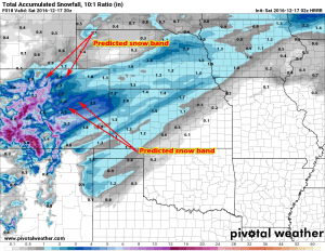
The HRRR model showed 2 distinct snow bands setting up, one to the North of Denver and one to the South of Castle Rock into El Paso county. We expected based on this data that areas North of Denver would get more snow and areas South of Castle Rock would get more snow.
Obviously the models predicted the snow bands but were off on where they set up and how long they lingered over an area.
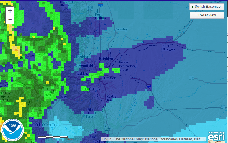
As you can see from this image, the snow band set up right over Denver and Castle Rock was on the South end of the main snow band.
At the end of the day, based on the reports I’ve seen, areas in and around Castle Rock finished in the 5-10 inch range for snowfall and the Denver Metro Area finished in the 6-12 inch range. DIA officially reported 8.8 inches of snow, making this Denver’s biggest snow storm of the year so far. Very welcome after our last few storms didn’t produce much snow!
Wrapping It All Up
Like I said, I’m a bit disappointed our snow forecast didn’t work out but am pretty happy with the rest of the forecast. I always like breaking down a forecast after a storm to see what was successful and what wasn’t. I think it helps me learn to be a better forecaster so without further ado:
- Snowfall
- We predicted 2-4 inches for Castle Rock.
- Later in the day Friday we saw snow banding was possible so we adjusted accordingly.
- We settled on the 2-4 inch range with local amounts up to 4-8 inches. If you take that 4-8 inch rang we were spot on, but that wasn’t our primary number we went with.
- Final verdict: Busted High (blown forecast)
- Temperatures
- We predicted extremely cold arctic air with wind chills to the tune of -20 in Castle Rock.
- The wind chills and apparent temperatures nearly reached -20 on Saturday night and Sunday morning
- Final verdict: Forecast verified
- Impacts
- Our biggest concern we communicated was the deteriorating road conditions late Friday night into Saturday
- With the cold temperatures as snow began to fall, the roads around town got bad very quickly.
- Even though we initially expected the 2-4 inch range of snow, we knew quick and intense bursts of snow would make roads icy and snow packed. With the heavier snow than anticipated, the roads indeed got tricky.
- We even sent a warning out around 8 or 9PM Friday saying it would probably be a good time to head home and get off the roads
- Final verdict: Forecast verified
- Timing
- Not much to say here but our expected timing was right on target.
- We communicated the biggest impacts from this storm Friday night into Saturday. This is exactly when the storm first began to bring major impacts.
- Final verdict: Forecast verified
Overall, the snowfall forecast is the only thing that didn’t work out for us. I’m not too upset as banded snowfall (jet stream/jet streak) storms can be difficult to forecast. You’d be hard pressed to find a single meteorologist in the area that forecasted such a significant boost in snow! None of the models showed as much moisture with this storm as we saw, this is what allowed those bands of snowfall to persist much longer than anticipated.
With this storm over, we look to warm up a bit this week with a couple of slight chances of snow. One possible mid-week and one possible on Christmas eve! We will keep a close eye on it and post updates as needed!

