Our next storm system is set to impact Colorado starting today and lasting into Thursday. Depending on where you are, some areas will see quite a bit of snow while others will see little to no snow accumulation. All in all, the storm doesn’t look like it will impact the central and Southern front range too much.
Models
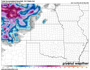
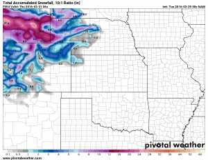
Every model across the board has this storm looking pretty unimpressive for Denver and points South. The areas that look to benefit the most will be the Northern mountains and areas along the Wyoming and Nebraska border.
Snowfall models show not too much for us South of Denver
Very unimpressive for us, but look at the Northern Mountains of Colorado and into Wyoming! These places already have blizzard watches and winter storm warnings out… this storm looks very similar to the one last week in strength but the big difference for us is location.
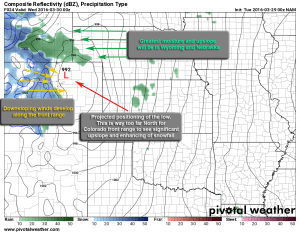
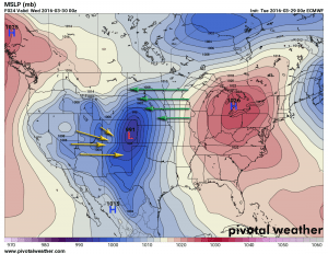
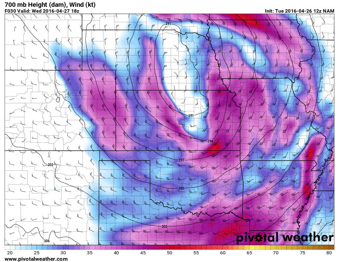
I used the NAM to highlight the location and how it affects which areas see the most snow and which get downslope (which dries the atmosphere out and decreases snowfall overall) The positioning of the low over North and Northeast Colorado means the areas of greatest moisture, energy and upslope occur in the Northern mountains of Colorado, the mountains of Wyoming and the Nebraska panhandle. These areas will see blizzard conditions much like we saw last Wednesday.
The Euro (which nailed last weeks’ blizzard when no other model came close) agrees with the positioning of the low.
What to Expect With This Storm
–Snowfall–
-
Castle Rock: 1-3 inches
-
Palmer Divide South (Larkspur, Monument…) : 0-3 inches
-
Denver: 0-2 inches
–Impacts–
-
Thunderstorms possible Tuesday evening as the front moves through
-
Expect generally wet roads South of Denver. Some roads may get light accumulation if a snow band sets up over them
-
Winds between 15-25mph are expected with gusts to 30mph
-
Best chances of precipitation are late Tuesday, late Wednesday and early Thursday
-
This storm does not look like it will adversely impact travel along the urban corridor at this time.
Summary
I’m not expecting much out of this storm as of this writing. Remember, any shift in the storm track can have huge implications for how much snow we receive, but confidence in this one missing us to the North is relatively high. The positioning of the low also means colder air will have a more difficult time working its way along the urban corridor of Denver. This leads me to believe a lot of areas that see snow will see most or all of it melt. The one exception is the higher altitudes for us South of Denver, but even then I don’t see us getting more than 2-3 inches top.
Stay tuned, if I begin to see any changes in this forecast, I’ll have updates right here!
Happy Tuesday!


