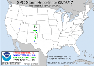
Castle Rock and surrounding areas dodged the bullet with severe weather yesterday, only receiving small hail and ample amounts of rain and wind. Luckily no reports of hail damage in our area and no tornadoes, with the exception of a funnel cloud in Eastern Elbert County.
We did receive several reports of hail between 1.5 and 2.5 inches in diameter that caused extensive damage in Wheat Ridge, Lakewood and Northwestern sections of Denver.
Today’s Severe Weather Threat
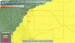
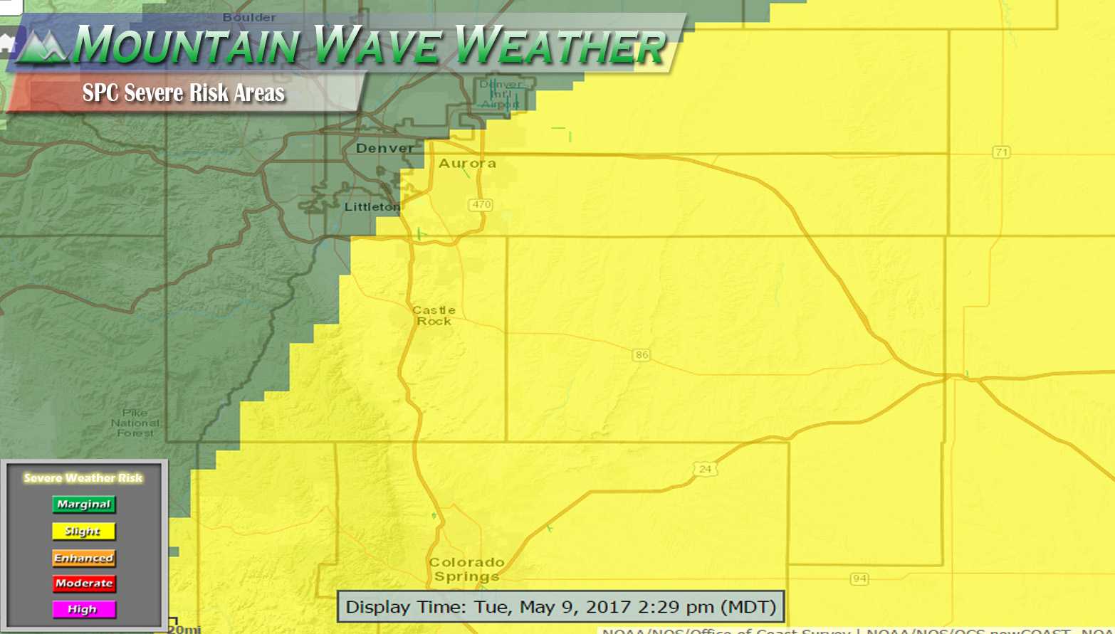
SPC Severe risk updated as of 2:30PM Mountain Daylight Time, much of the Palmer Divide and Eastern Denver now included in the Slight Risk Area.
The slight risk now extends from Southeastern Colorado, up through the Palmer Divide region and into Eastern and Northeastern areas of Denver. This was updated by the SPC to show an increased risk of severe weather for these areas later into the day.
Latest Forecast and Impacts
Timing
- Most models show thunderstorms initiating between 2-4PM this afternoon. Storms were initializing South of our area as of 2PM.
- Similar to yesterday’s storm threat, storms look most likely to impact the Palmer Divide region from 3PM – 7PM.
Highest Severe Threat Locations
- Expect storms to initially form to the South and West of the Palmer Divide region, moving in a North/Northeastward direction
- Areas from Denver South to the Palmer Divide will see impact from storms mainly in the form of small hail and heavy rain. Areas East of Denver and East of Castle Rock will have a higher chance for larger hail, strong winds and the slight chance for tornadoes.
Highest Severe Threats
- Damaging hail will be possible again today, mainly for areas East and Southeast of Denver
- Damaging Winds will be possible from severe storms that form
- Heavy rain/ localized flooding will be likely under storms with heavier rain. There’s lots of moisture in the atmosphere today!
Updates will be poster here and/or on our Facebook page throughout the afternoon, stay tuned!

