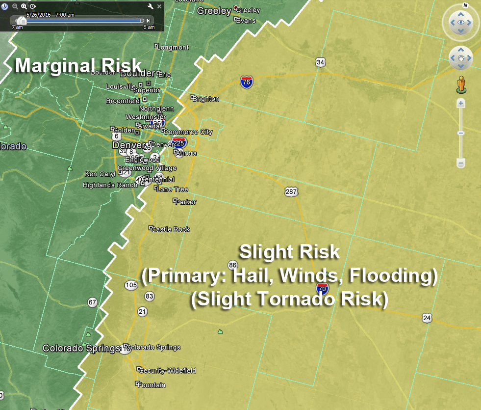
Severe weather returns to Colorado today. A storm system moving through this afternoon will touch off numerous thunderstorms and due to the atmospheric setup today, some of them could be severe.
Timing
- Storms look to initiate between 12-2PM
- Severe storms look most likely between 12-4PM today
- Extended period of thunderstorms lasts through 9-10PM tonight.
Locations
- Higher Risk
- Palmer Divide, especially East of Castle Rock extending to Limon
- Areas in extreme Northeastern Colorado
- Lower Risk (but still notable risk)
- Locations closer to the foothills and North of Denver
Severe Weather Threats
- Primary threats today will be large hail and strong winds
- Flooding threat will be elevated under the larger storms in the afternoon
- Tornado threat is lower today than Tuesday, but it is still not 0% so keep an eye out
Preparedness Actions
- Storms will form quickly, please keep an eye out for alerts
- Move plants, cars, etc… into an area where they are protected from larger hail
- Flooding will be possible under larger storms, due not drive through flooded roadways
Note about Tornado Threat
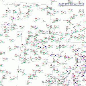
Looking at the winds as of this morning, we don’t see a strong Denver Cyclone setup along the front range. Obviously this can change in the afternoon but it doesn’t look like a widespread tornado threat at this time. Still, the possibility is there, especially along the Palmer Divide where the terrain can create some very localize vorticity for funnel clouds and weak tornadoes.
I will have further updates here on the site as things evolve today. Stay tuned!

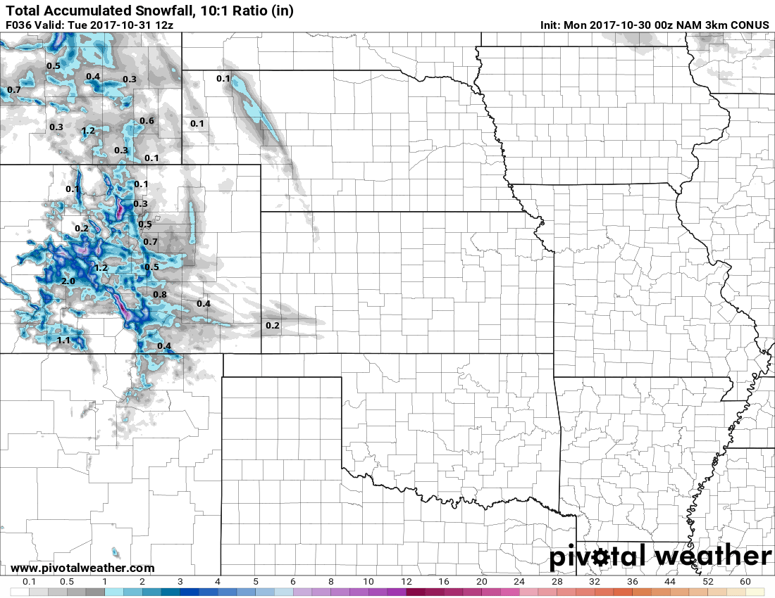
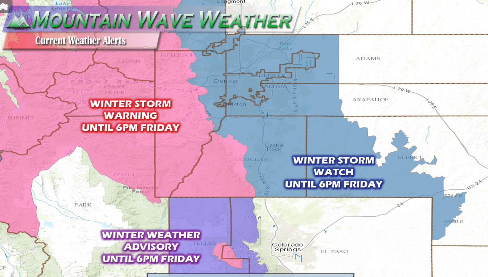
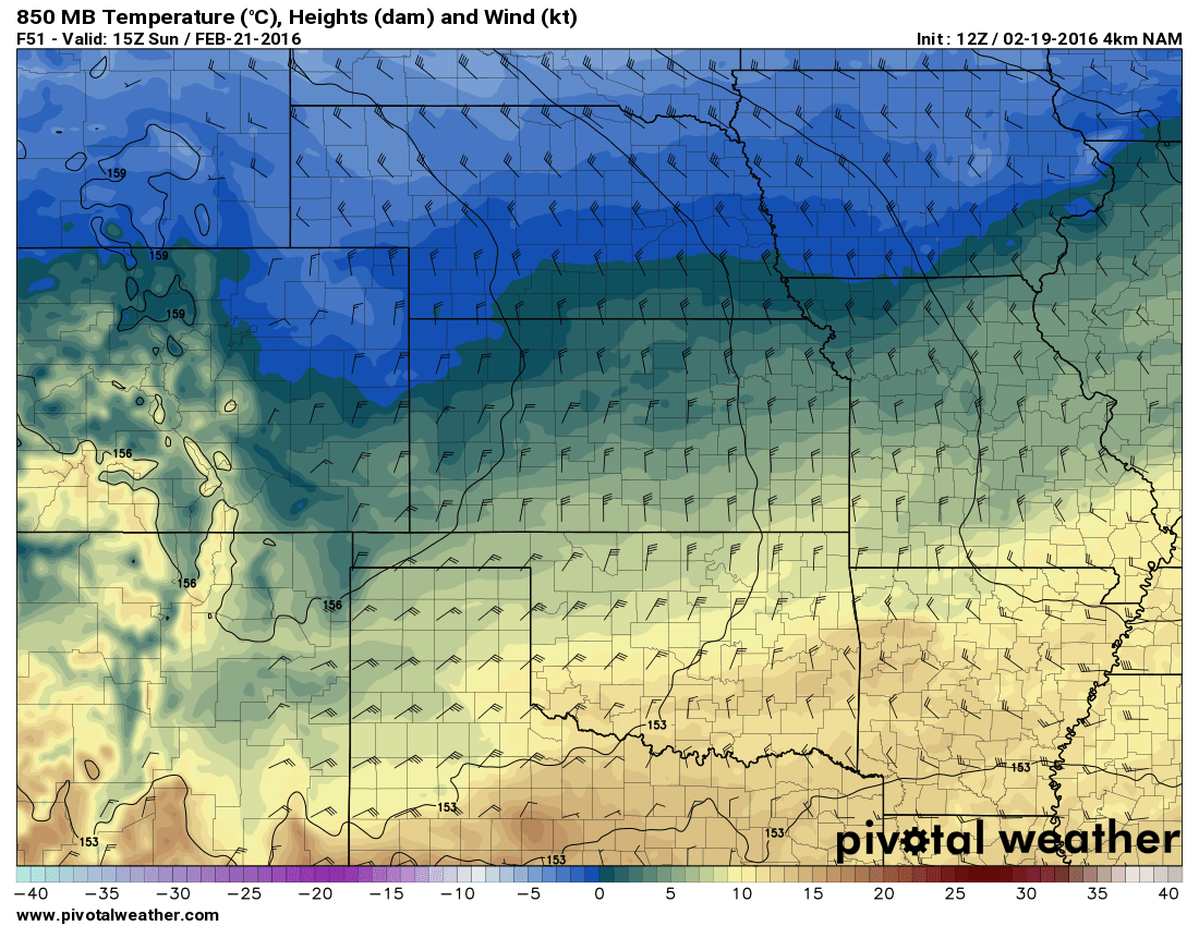

Here’s where I’m confused. Last night, the weather showed us getting the most rain in the whole state (.72″). Yest the weather map showed Castle Rock in the light to medium green area. How can we be in the green yet show the most rainfall accumulation through tomorrow?
Which weather maps or graphics are you referring to? Just trying to get an idea so I can take a look at them. 🙂