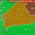
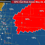
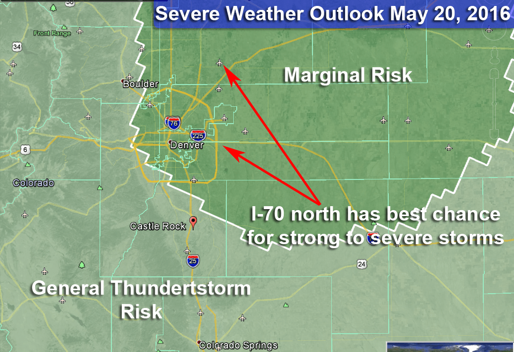
Shortly after I posted my first article, the SPC moved the risk areas. Douglas County is now included in the slight risk area so this warrants an update for us.
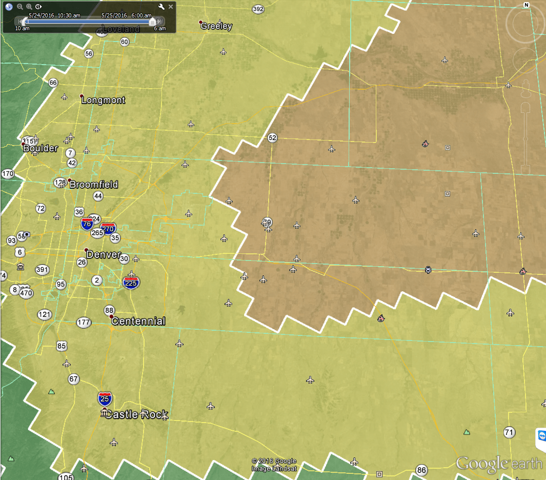
General risk area. Yellow areas are slight risk, brown are enhanced risk. This area has been moved further West with the latest update and now included most of Douglas County including Castle Rock and the Palmer Divide.
Updated Tornado Risk Areas
Keep in mind, the upgrade of risk means chances are a bit higher for severe weather, not all areas will see it. Most models were not showing a lot along the Palmer Divide this morning and have shifted a bit but still don’t show a huge risk as of right now.
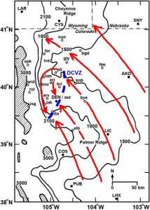
A Note About Tornadoes and the Denver Cyclone
On days where the SPC specifically mentions the “Denver Cyclone” folks in our area need to be aware. Storms that find this boundary and become severe tend to produce tornadoes. This boundary doesn’t always match the image above, it can set up further North, South, East or West, but generally I watch a few areas closely on days like this:
- Palmer Divide including a line from Castle Rock, Franktown, Elizabeth, Kiowa and Limon.
- I-76 corridor including areas around DIA, Brush, Fort Morgan, Sterling and Julesburg.
If you are in these areas today, keep a close eye for severe storms with the potential for tornadoes.
Timing
- Storms look to initiate between 1-2PM
- Severe storms look most likely between 2-6PM today
Locations
- Higher Risk
- I-76 corridor
- Lower Risk (but still noteable risk)
- Palmer Divide
Preparedness Actions
- Storms will form quickly, please keep an eye out for alerts
- Large hail is the primary threat, take action to protect property (cars, plants, pets, etc…)
- There is a slight risk of tornadoes along the Palmer Divide, pay close attention for warnings and be ready to seek shelter
- There is a higher risk for tornadoes Northeast of Denver, be prepared to move quickly to a shelter.
Stay tuned as we will have updates through the afternoon. Stay safe and weather aware!

