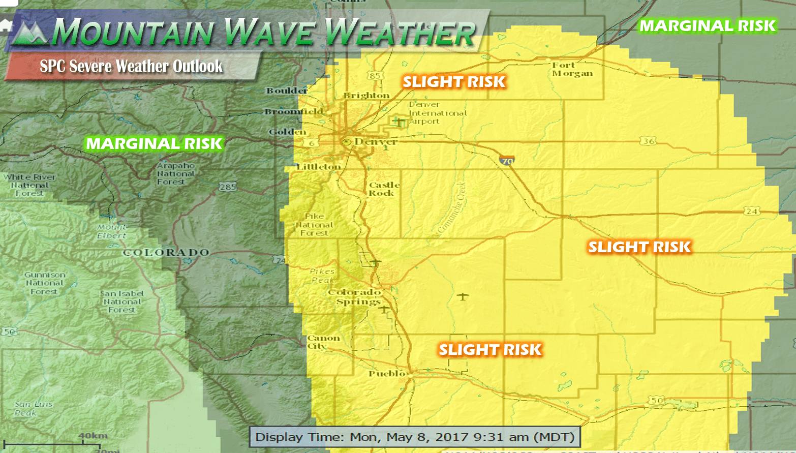
For those of you still up with us, here’s where we stand with this storm system. Only slight adjustments are being made to our forecast, mainly we are decreasing snowfall totals slightly and lessening impacts slightly. This storm still has a decent potential to bring some poor travel conditions to some areas but mainly South of Castle Rock.
Areas such as Larkspur, Palmer Lake, Monument and Black Forest will see the most snow and the highest travel impacts. Areas such as Castle Rock, Castle Pines and points North can still expect light to moderate travel impacts in the morning. Here’s the latest:
Current Storm Status
Temperatures and humidity is high, meaning rain may take a bit longer to transition to snow. This could mean slightly lower amounts, hence our forecast adjustments.
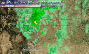
Latest look at Palmer Divide radar shows light to moderate precipitation. Only areas to the South have seen a transition to snow as of yet, but other areas will transition soon.
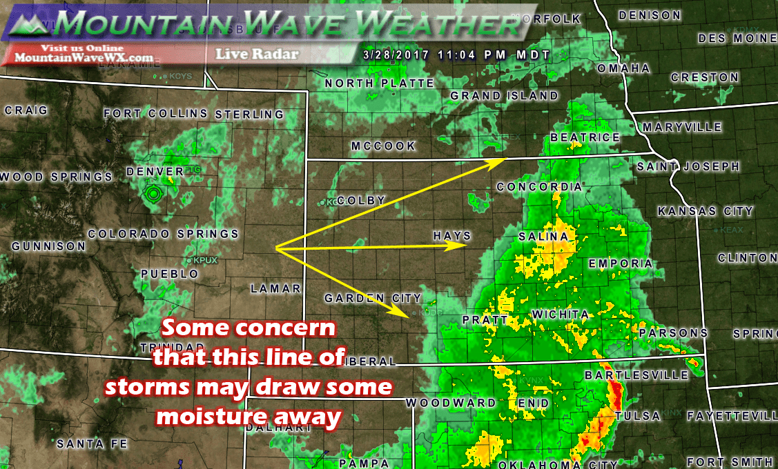
One other area of concern regarding the moisture content with this storm is the large thunderstorms to the East of us in Kansas. These storms can act like spongers, soaking up large swaths of moisture as they try to wrap back into Colorado.

Setups like this have been known to drastically decrease our snowfall in some cases along the front range
Updated Forecast and Impacts
Timing
- Expect a chance of rain and possible thunderstorms across the area during the day Tuesday.
- Precipitation beginsto fill in after 3pm across the front range, starting out mainly as rain.
- Precipitation will transition to snow around 9PM, there will be sharp rain/snow gradient so some areas may take longer to transition to snow.
- Heavy snow and winds will create tough travel conditions overnight Tuesday and into Wednesday morning
- The storm should begin to move out by late Wednesday morning into Wednesday afternoon.
Snow Accumulations
- Castle Rock and Northern Palmer Divide can expect 2-6 inches total accumulation by Wednesday late morning **The rain/snow line is expected to set up just North of Castle Rock so some areas on the North side of town may fall a bit below this range**
- Castle Rock, Pinery, Franktown, Elizabeth, Kiowa
- Areas over and near Monument hill can expect 6-12 inches of accumulation
- Larkspur, Palmer Lake, Monument, Black Forest
Wind/Visibility
- Winds will be gusty at times but are expected to remain below blizzard criteria
- Visibility may be low due to a combination of falling snow or heavier rain
Impacts
- Expect moderate snowfall to develop into the early hours of Wednesday morning
- Roads are expected to become icy and snowpacked in some areas. The main area of concern is South of Castle Rock into Monument
- Expect low to moderate travel impacts for Castle Rock and points North. Expect Moderate to severe impacts to travel South of Castle Rock into Monument.
Storm is moving through, we’ll have an updated in the morning if warranted, otherwise everyone have a great night! We’ll be posting about this weekend’s storm tomorrow as well… let’s just say that it’s looking interesting!

