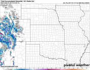
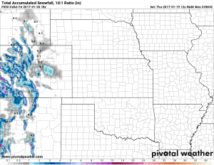
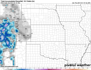
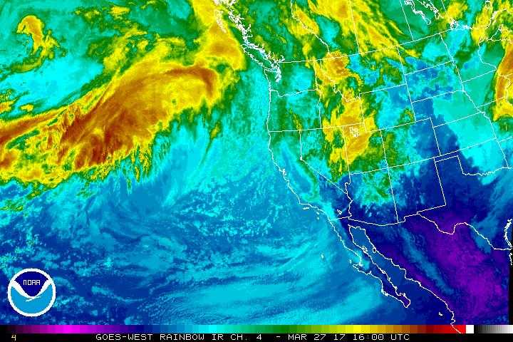
A storm system moving through California will begin to impact Colorado into tonight. The main areas that will see any appreciable snowfall will be the Northern and Central mountains (generally the 1-3 or 2-4 inch range.) Models show some snow falling into the early morning hours of Friday for areas primarily South of Denver. That being said, this storm doesn’t have a ton of moisture left to it and will have trouble establishing any significant upslope as it makes its way onto the plains.
The consensus is pretty clear with the models on this one. Light snow possible on the plains with areas South of Denver favored to see more snow. Overall though, a pretty weak storm with not much impact. Additionally this storm won’t have a ton of cold air associated with it so expect a lot of melting and probably more wet roads than icy ones.
Forecast – What To Expect With This Storm
Pretty good lock on this storm with not many surprises from one model run to the next. California has sucked up most of the moisture with this one and our mountains will do a good job taking most of the rest.
Timing
- Light snow expected between 4AM-10AM Friday. GFS has the snow falling a bit later but shouldn’t be too big of a difference.
- Warm temperatures may keep a lot of the snow melting so some lower elevation areas may get little to no accumulation.
Snowfall
- 0-2 inches is still the most likely range we see by the time the storm moves out. I’d expect us to come out lower in that range. Many models have snowfall accumulation between 0.5 to 1 inch, some outliers show zero, a couple outliers show up to 2.
- Not expecting major impacts to travel due to this storm. Roads should remain mostly wet with maybe a slick spot on elevated bridges. Mountains will see the most impact on roads but should be minor overall.
We are watching an interesting storm system setup early to middle next week. I call it interesting but not yet “promising” because models are having the same difficulty with it as the last storm, not to mention we’re still quite far out to get a good handle on that storm. It is worth watching though becuase like the last storm it has “potential” to be significant if it can set up right. We’ll keep an eye on that this weekend and pass along information if anything begins to look interesting with that storm.


