To say the weather has been gorgeous in Colorado lately is a bit of an understatement, minus a short stint of fall weather last week Colorado has experienced late summer weather well into October at this point. To say we’ve had a dry and warm summer and fall is an equal understatement.
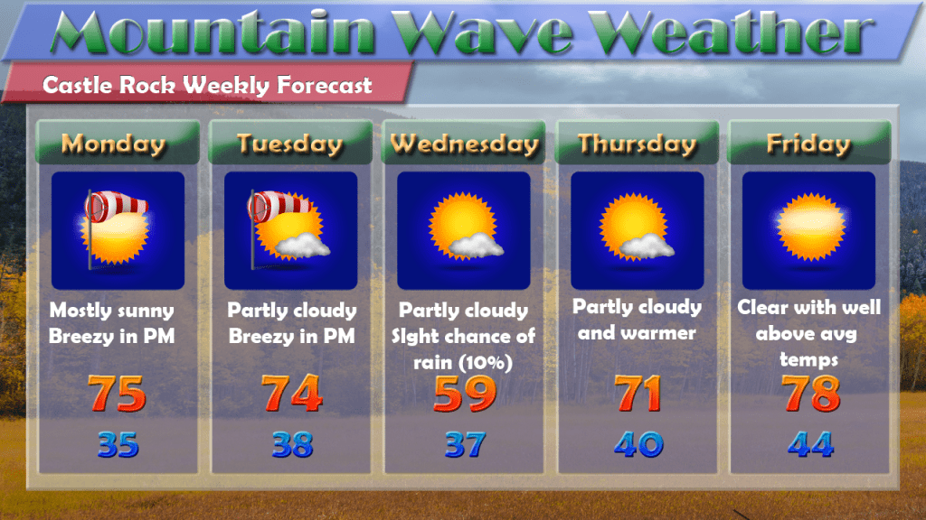
This week looks to feature more of the same, so warm and nice weather lovers have a lot to look forward to. The only blip on the radar (sorry bad pun) is Wednesday where a cold front will cool us off a bit and offer a slight chance for moisture, but overall this system looks very dry. All in all, don’t hold your breath for a chance of precipitation this week, October is on track to continue our trend of extremely dry months unless we see a major pattern change…
This Week’s Weather Story
After a cold front this past week brought most of the front range a taste of fall, we look to revert back to summer-like weather this week for most areas in Colorado.
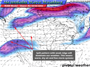
The dominant weather pattern across most of the Western U.S. this week will be ridging, high pressure systems aloft and at the surface will keep major storm systems from moving into our area.
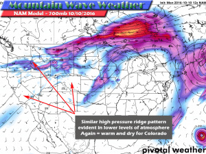
The mid to low level models show a similar ridge pattern. Notice the disturbed air to the North though…
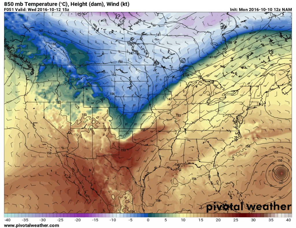
The only small breakdown I see to our pattern is later Tuesday into Wednesday when a cold front is expected to impact the area. Because of this front, we will see high temperatures nearly 20 degrees cooler on Wednesday than Monday and Tuesday.
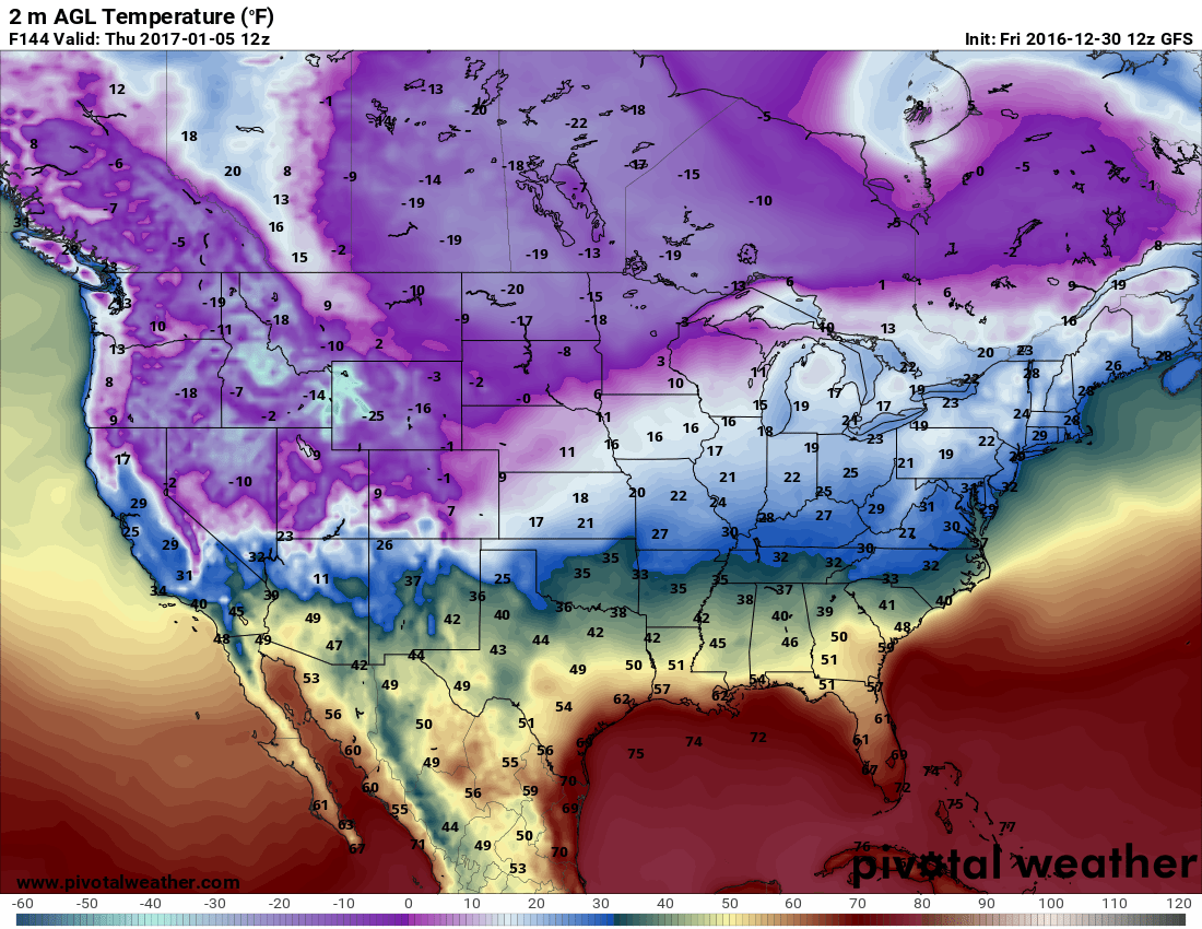
As the front moves through, the coldest air looks to stay to our Northeast, but will graze Colorado enough to drop our temperatures substantially. The most affect from the cold looks to be East of the continental divide.
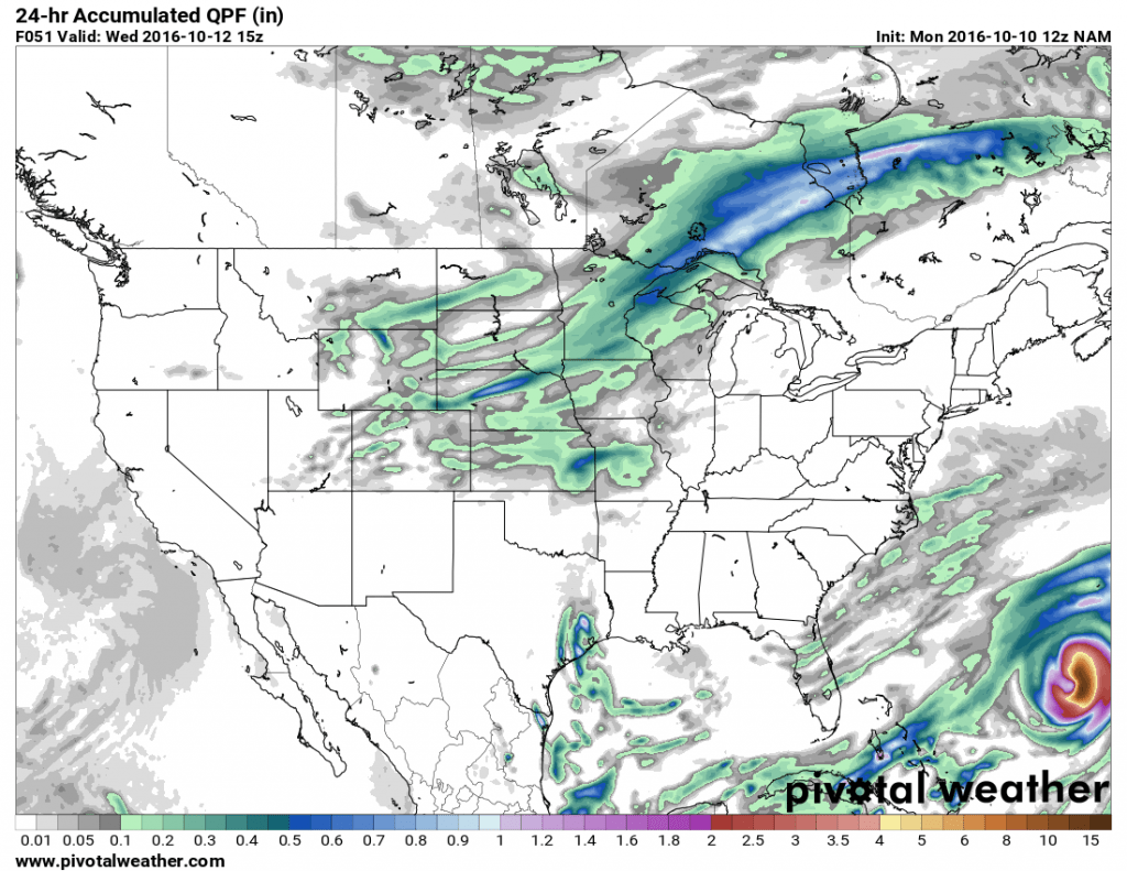
Unfortunately, we don’t look to get a lot of precipitation form this storm. This system is what we typically call a continental polar airmass, it generally means colder air but since it doesn’t originate from a large source of moisture (usually a large body of water like an ocean) they typically don’t have a lot of precipitation associated with them.
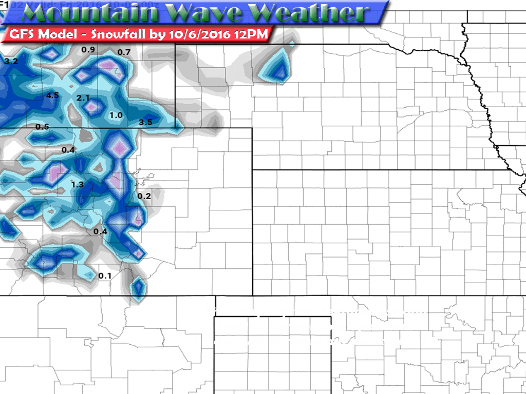
Any rain that falls out of this system will be sparse with most areas seeing no more than .01 inch according to the latest models. Sad news as October is shaping out be an extremely dry month, just like the 3 that preceded it.
We’ll keep an eye on if any of this changes, but given the overall pattern that is in place right now; expect the next couple of weeks to be predominantly dry and warm with only slight 1-2 day storm systems moving through. Nothing major is showing up at this time, have a great week!

