What’s Going on Today
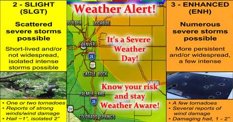
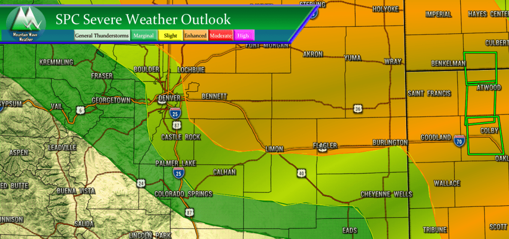
Today looks to be an active thunderstorm day with severe weather expected across much of Northeastern Colorado. The main threat out of theses storms is large, damaging hail but given the low level moisture and wind profiles there is an isolated tornado risk as well.
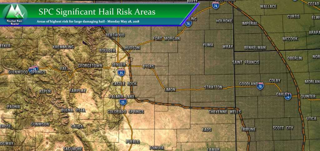
The Storm Prediction Center has highlighted some areas of NE Colorado with a significant hail risk. This means some storms are expected to have “damaging/ significant hail greater than 2 inches in diameter.” Hail of this size could cause significant damage so please stay very aware this afternoon if you are in any of the risk areas.
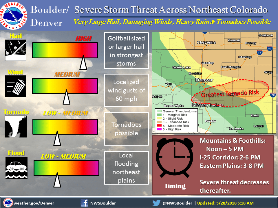
The Palmer Divide region is highlighted for a medium risk of tornado activity today. While these won’t be widespread by any means, the risk is there and people need to be aware of it. If you are outside and doing your BBQ this afternoon, keep an eye on the sky and have a good way to get weather warnings.
Timing/Hazards
Severe storms will kick off most likely after 2PM, morning models have the Palmer Divide region getting especially active between the 3-5pm hour.
Stay aware in case storms kick off earlier in the afternoon, we’ve seen this a couple of times this year. Have an eye out after 12PM just to be sure.
Primary Threats
- Large, damaging hail in excess of 2 inches
- Strong winds
- Cloud to ground lightning
- Medium Tornado Risk primarily along the Palmer Divide
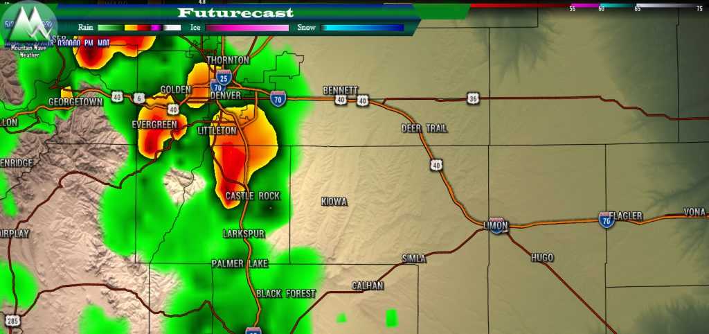
Models consistently show the Palmer Divide as an area of high activity today. Please stay weather aware if you are in these areas!
I will be on and off social media today, as always we are a great source of weather but not the best for live warnings. For that I recommend a phone app with a warning system or stay tuned to local TV. The National Weather Service in Denver also has a Facebook Page and a Twitter where they post weather warnings.I may storm chase today, if so I’ll be sharing things to my Twitter and Facebook Pages.
Stay safe out there today!
~John

